The A-Z of old Brisbane in colour: Oxley to Pullenvale.
Oxley
The suburb is named after the Oxley Creek which was encountered by New South Wales Surveyor-General, John Oxley, in December 1823. Oxley named it Canoe Creek, but two years later Edmund Lockyer charted the Brisbane River and described the tributary as Oxleys Creek.
Queensland Places Website
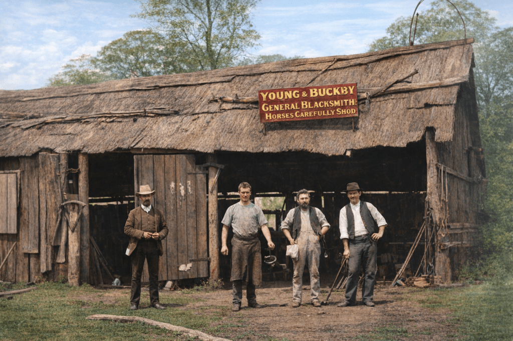
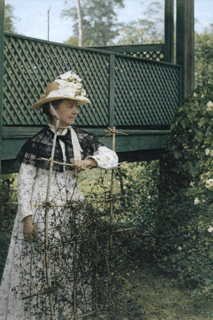
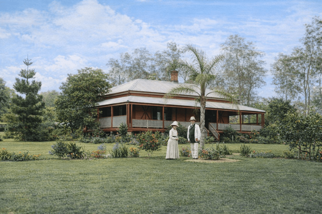
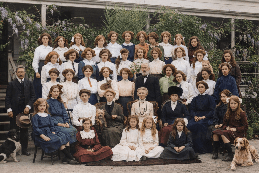
In 1888, the blacksmiths of Young & Buckby pose outside their shed on the Oxley Road.Elizabeth Weedon in the garden at “Springfield,” in Oxley, 1889.Thomas and Elizabeth Weedon pose in front of their home at Oxley in 1889.Teachers and female students from the Duporth School at Oxley in 1819. Everybody looks so tidy and well-behaved. Even the dogs, which usually manage to be a wild card in a group photo.
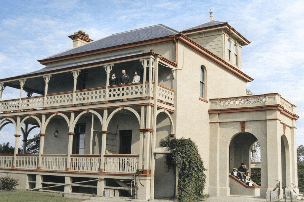
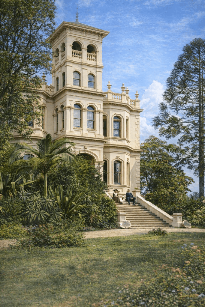
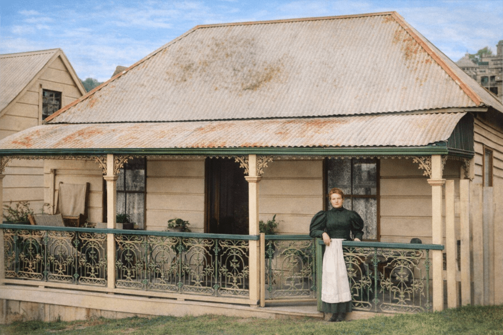
Paddington
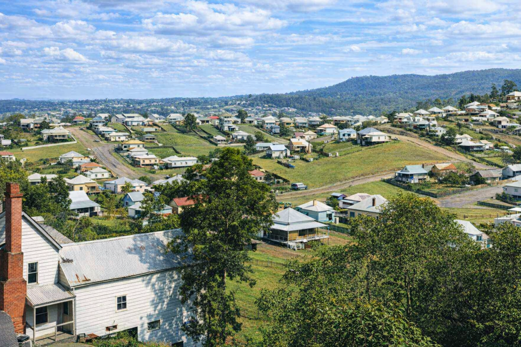
Paddington, a quick hop, step and jump west of the CBD began as semi-rural allotments in the early 1860s, and quickly became a suburb. In the 19th century, the demographic needle veered between the wealthy inhabitants of Fernberg, and the inhabitants of tiny workers’ cottages. Over the 20th century, Paddington’s fortunes rose and fell like its famously hilly landscape, finally landing in the “well, I can afford to drive throughit” territory as café society met heritage renovators in the 1990s.
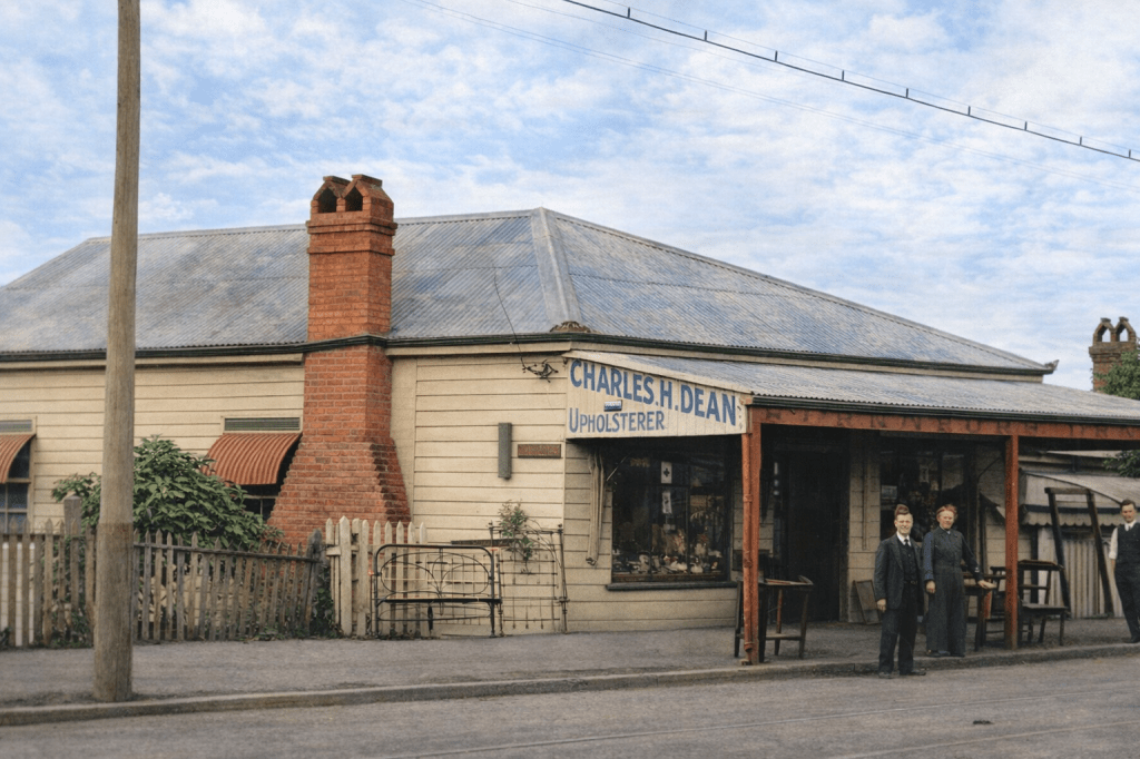
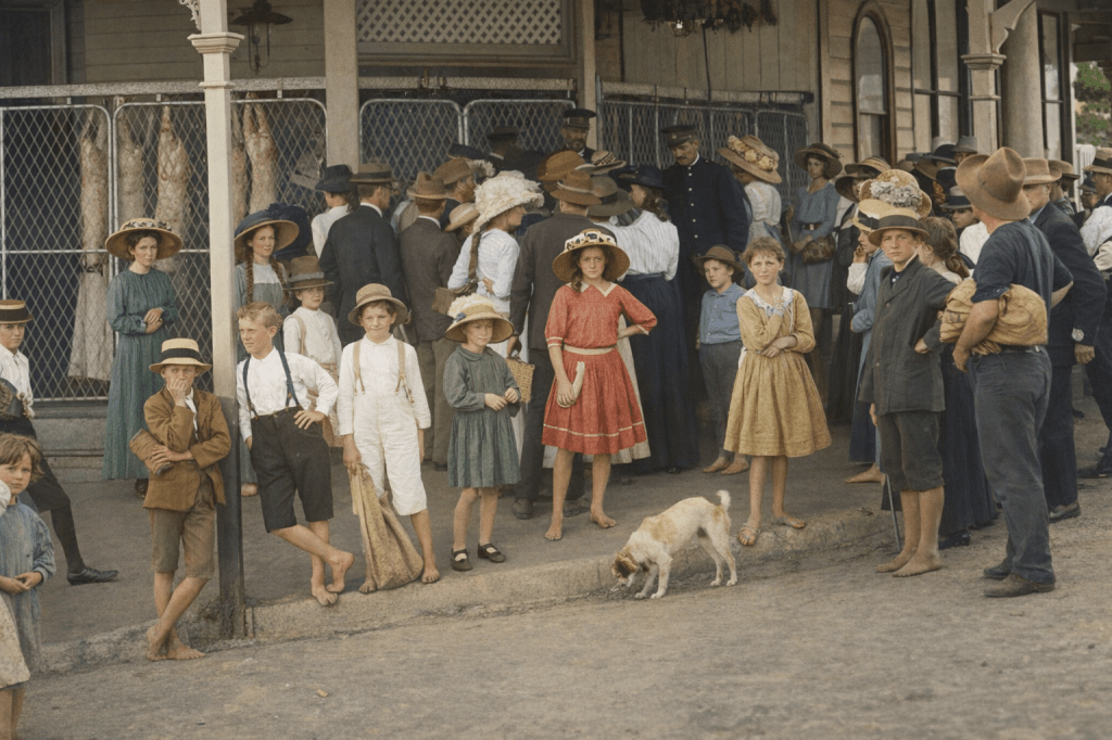
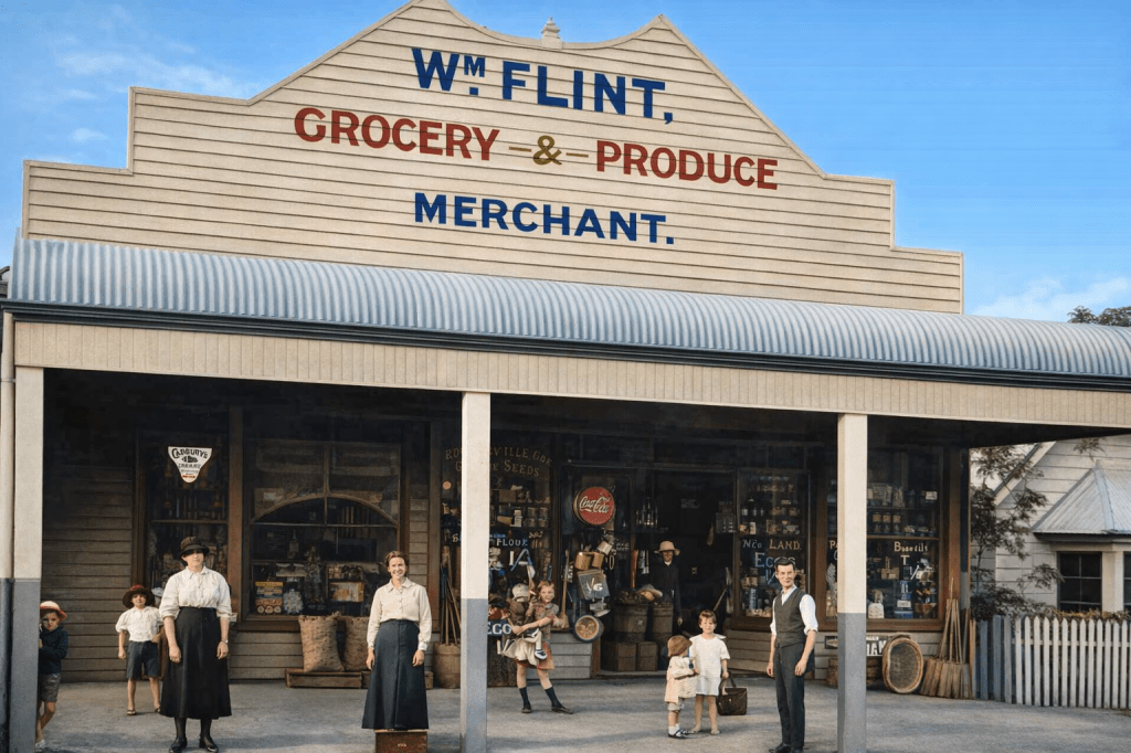
Ladies and gentlemen on the steps of Fernberg 1885. This ever-growing villa and estate dwelling was built for JC Heussler in the 1860s, and subsequent owners made it so large and grand that it was purchased by the State Government in 1910, and made the official Government House. Fernberg in 1894 – on its way to vice-regal glory.Worker’s cottage with iron lace, Paddington, 1897. Worker’s cottages were small houses built on small allotments, generally quite dark inside, but with a certain colonial charm built in – a little verandah and a spot of iron lace. A century later, properties like this would be snapped up, raised up and bumped out for a prosperous class of people who simply adored living so close to the city.The houses and shops of Paddington, 1898.The houses of Paddington in 1902.Sarah and Henry Dean outside their second-hand furniture business in Paddington, 1911.Police guarding a butcher’s shop in Paddington during the General Strike in 1912. Here is the socio-economic mix of early Paddington – the elaborately-hatted ladies hoping to get in before the rationing starts, and the barefoot children who just want to see what all the fuss is about.The shopfront of William Flint, Paddington, 1915. The General Strike was just a memory now.
Petrie Terrace
Both a street and a suburb. Named after the famous Petrie family, and even closer to the CBD than Paddington, Petrie Terrace has become a suburb again, after 25 years of not being recognised as a suburb. Hello, Town Planning, hope you’re enjoying your day.
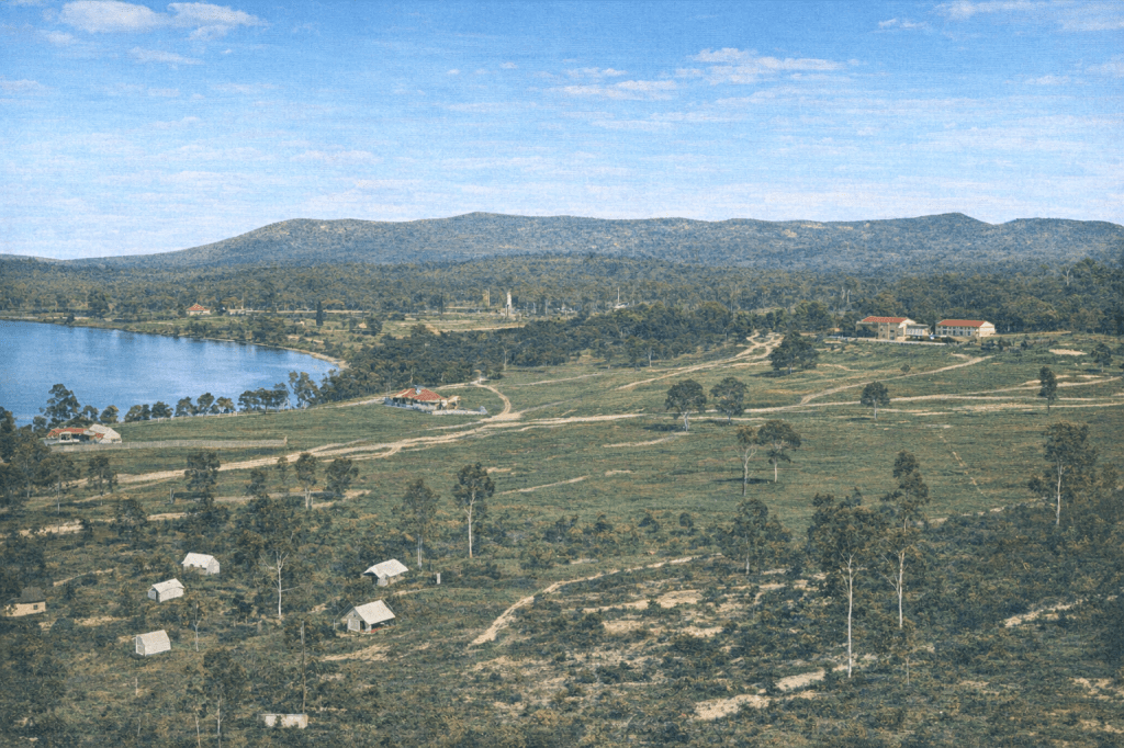
In the very early days of Queensland, Petrie Terrace was far enough out of town to be considered a good spot for the second Brisbane Gaol. It can be seen in the distance in the photograph below. It quickly proved inadequate to the criminality of Old Brisbane, though, and within a couple of years of its opening, prisoners were being sent to the Proserpine Hulk, and then St Helena Island.
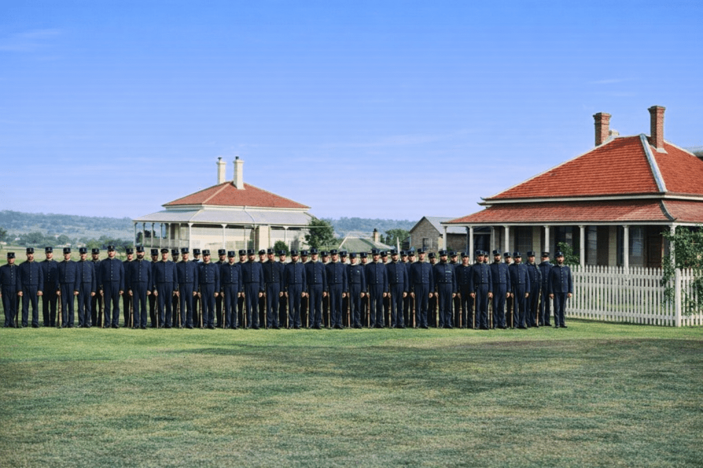
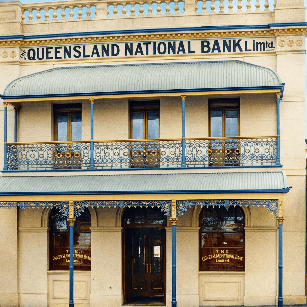
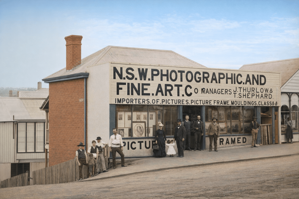
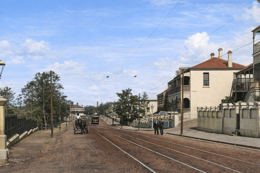
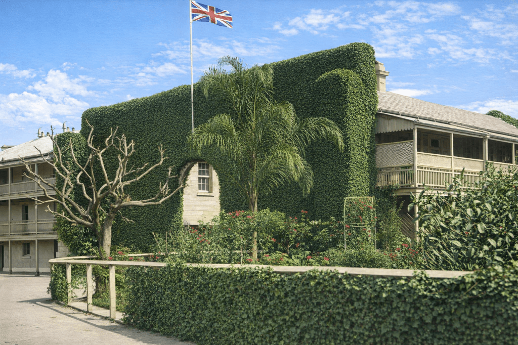
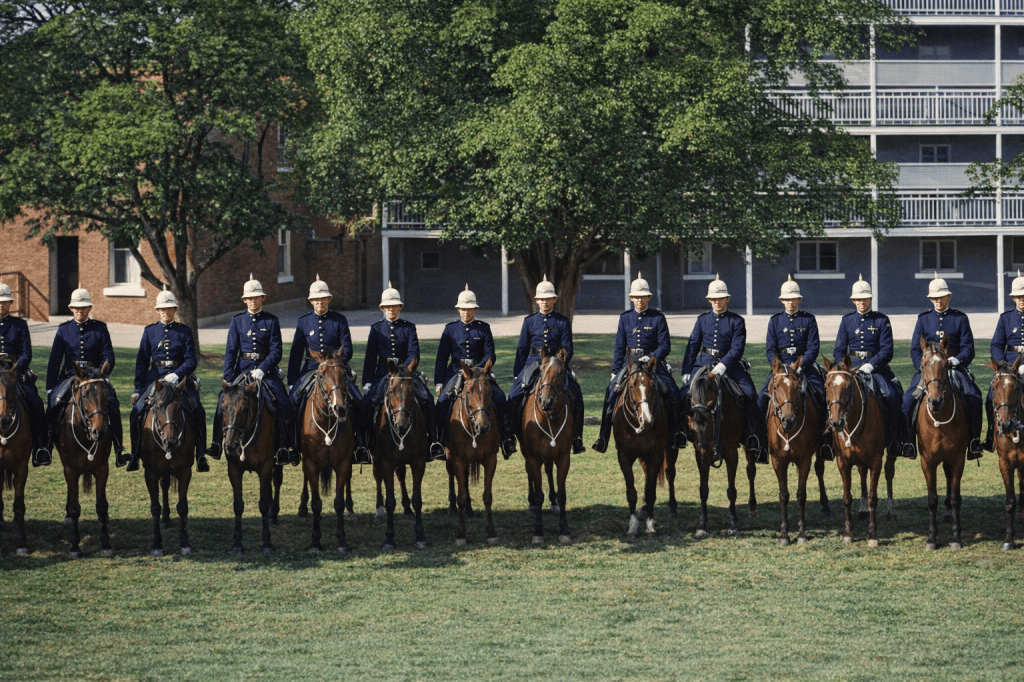
1860: Upper Roma Street and Petrie Terrace.1867: The Petrie Terrace police barracks. Lots of woollen coats and forage caps, but admirable lining-up skills.1870: View from Petrie Terrace over the old Paddington Cemetery towards Milton. This is one of the few views of the old cemetery when it was in use. 1870: Looking towards Petrie Terrace and Victoria Barracks.1888: The Queensland National Bank building on Petrie Terrace.1890: The shopfront of the NSW Photographic and Fine Art Co, Petrie Terrace.1902: View of Petrie Terrace. The street itself.1910: Ivy-covered wall at the Police Barracks, Petrie Terrace. Surprisingly picturesque for a law-and-order related edifice.1920: Mounted Police at the Petrie Terrace Barracks. Spiffy.
Pinkenba
Pinkenba nestles on the entrance to Moreton Bay, an ideal place for a few farms, a suburb and light industry. In the 19th and 20th centuries, those army camps that weren’t at Lytton were at Pinkenba. It was such a good idea to name it Pinkenba. Boggy Creek doesn’t sound quite so… habitable.
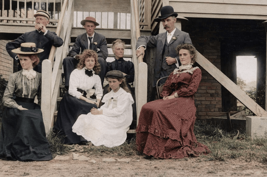
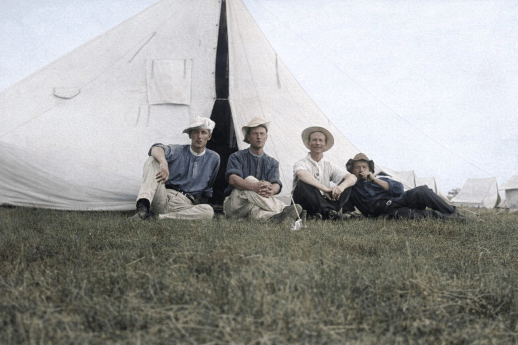
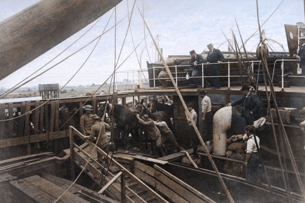
The Smith family at Pinkenba, 1899. There must have been an instruction to look as stern and/or miserable as humanly possible. Only the youngest family members felt game enough to watch the birdie.It’s 1899, and these young men camping at Pinkenba are about to embark on a journey to the Boer War. At this point, it was either a big adventure, or something one did for one’s country, which at the time was Britain. Young men were not the only passengers on this troop ship in 1899. Horses were loaded on for the journey to South Africa.
Port of Brisbane
More a locality than a suburb, but a very picturesque one. I’ve taken a liberty or three and included some river photos as well.
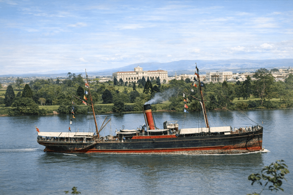
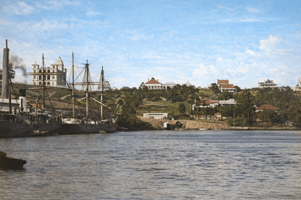
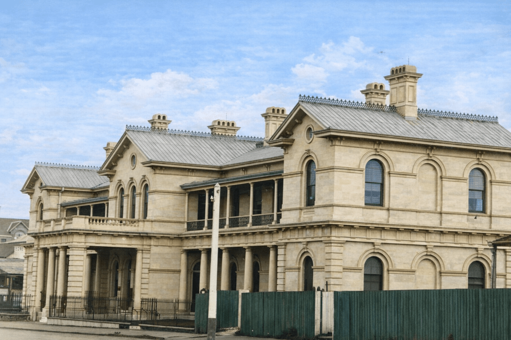
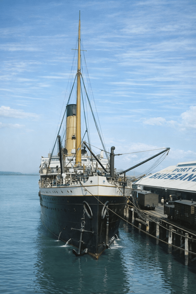
1884: The steamship Warrego at anchor in the Brisbane River.1884: Ships moored at Circular Quay in Brisbane.The Brisbane Port Office, 1889.The real deal. Unidentified ship at the Port of Brisbane in 1914.
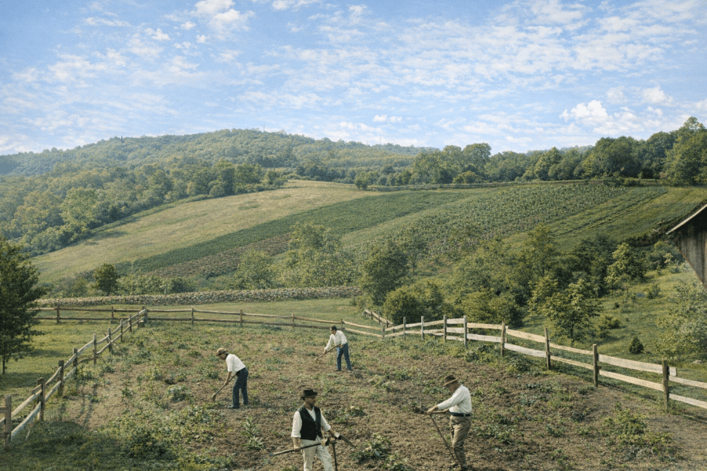
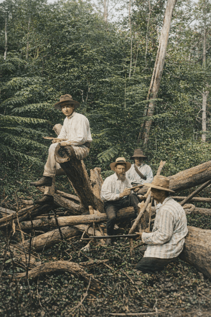
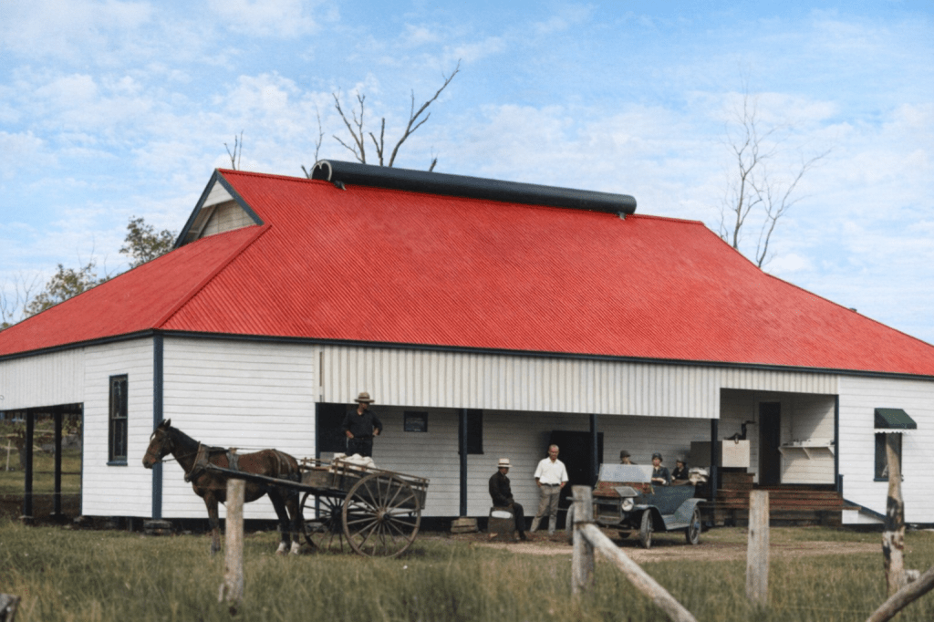
Pullenvale
From its inception in the 1870s to today, peaceful Pullenvale has been a mix of rural and residential properties. Here are some early views, from its farming origins.
1889: Farm workers at Pullenvale.1889: When not farming, the men were off shooting things.1916. A farming building at Pullenvale. Horsepower of both kinds in use.
All images are from the State Library of Queensland. AI colourisation by CoPilot.