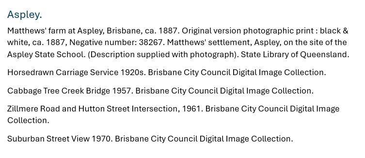
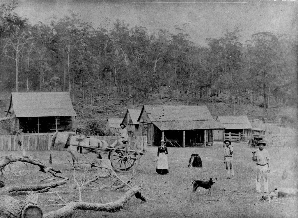
Aspley
Aspley, 12 kilometres north of the CBD, was a semi-rural area until Brisbane’s housing belt expanded in the 1970s.
There were land sales in the area more than 120 years prior to that, and the area around the Gympie Road became home to small farm holdings, such as the Matthews’.
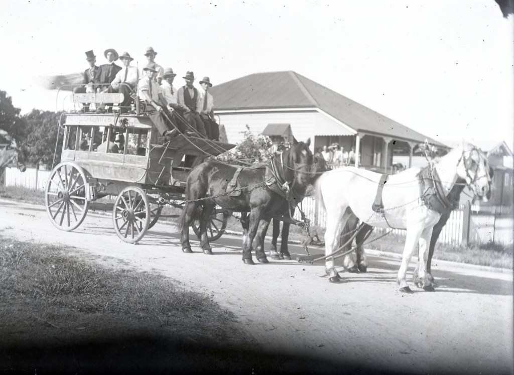
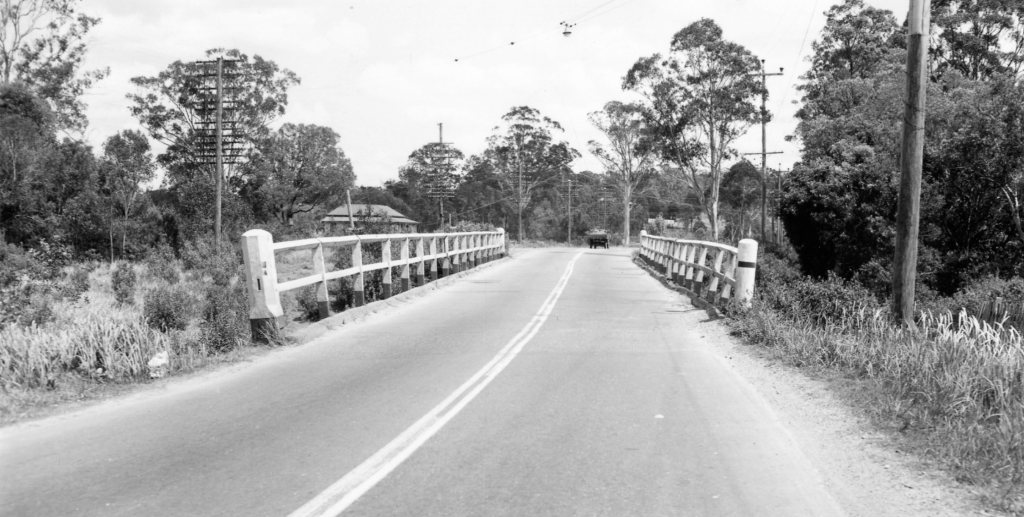
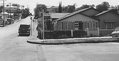
Gympie Road was the key to Aspley’s growth – the road was the route to the goldfields, and when that era passed, to the country north of Brisbane.
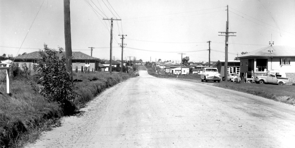
In the 1960s and 1970s, residential blocks with low-set, largely brick residences came on to the market. The proximity to Zillmere Road and Gympie Road made commuting to work fairly easy. ‘Civilisation’ also came to Aspley in the forms of shopping centres (including a thing called the Hypermarket, which in the 1980s was thought to be the future of retail as we knew it. It wasn’t.)
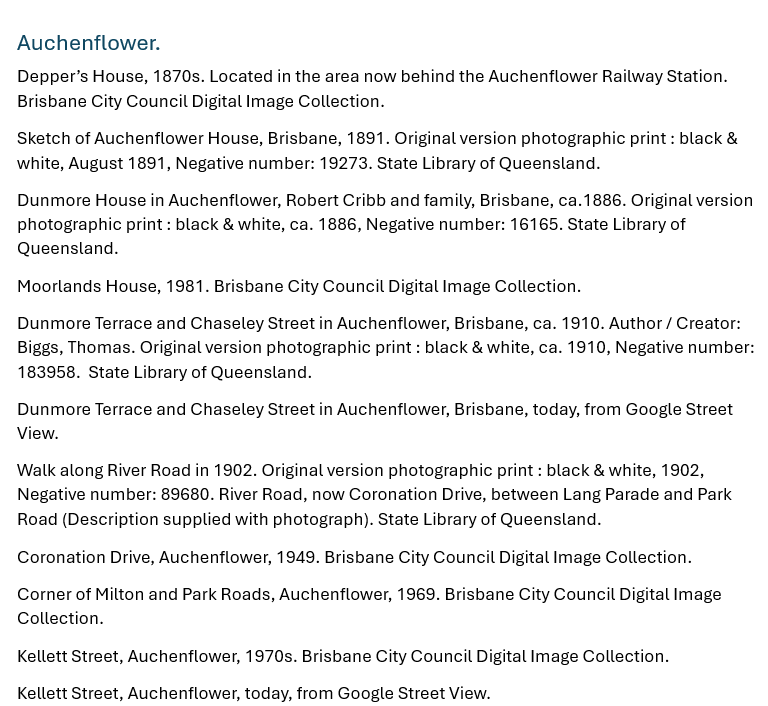
Auchenflower
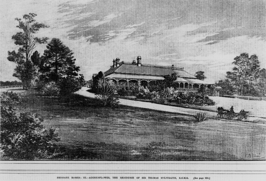
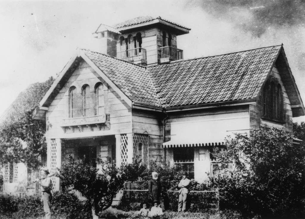
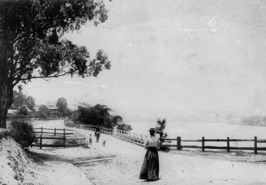
Auchenflower, rising from the riverside 4 kilometres west of the CBD, was named after Auchenflower House, owned by Sir Thomas McIlwraith (who bestowed the name from his old family estate in Scotland, don’t-you-know).
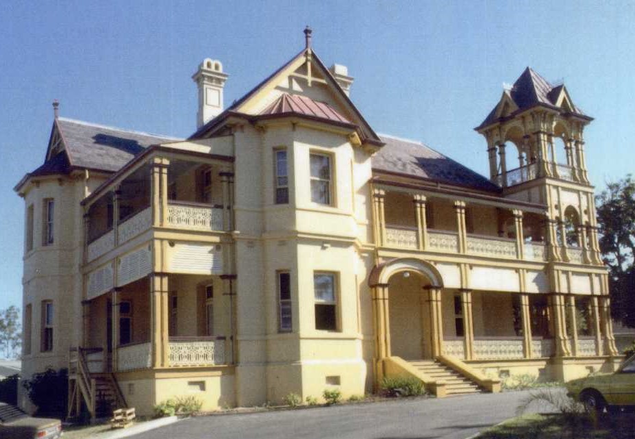
Other celebrated early settlers of the area were Ambrose Eldridge, Augustus Gregory, Mrs Patrick Mayne, and Robert Cribb. All built substantial homes there. (Moorlands, the Mayne property, is the best-known.)
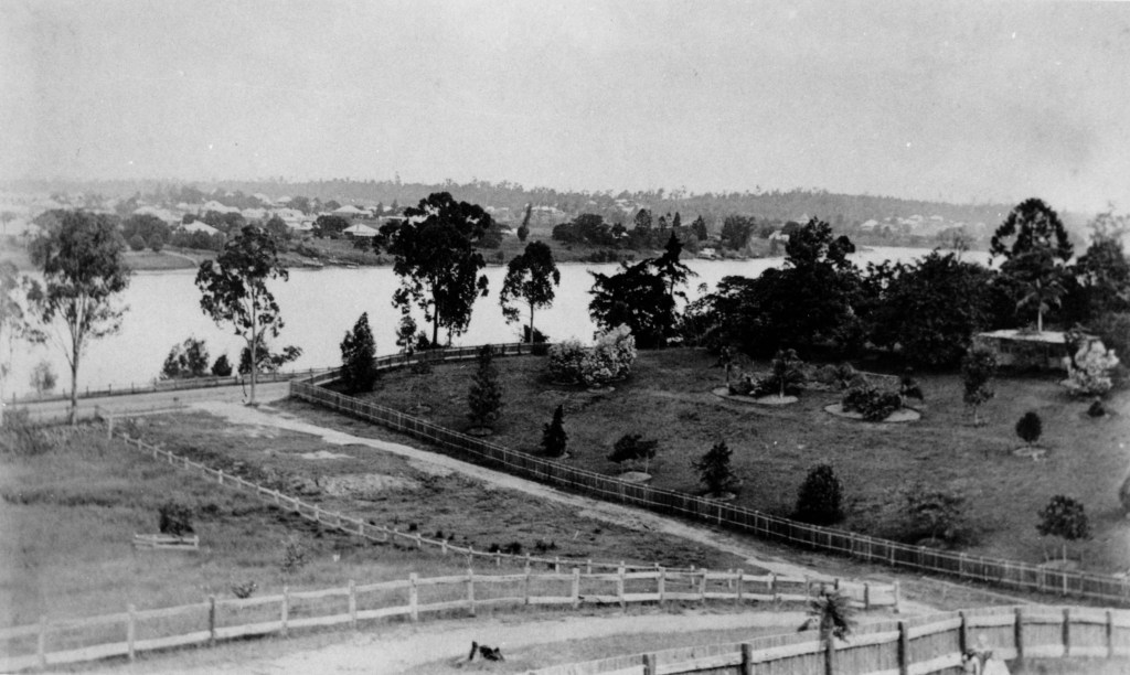
By the late 1880s, suburban development had begun, although Auchenflower was impacted badly by the 1893 and 1974 floods.
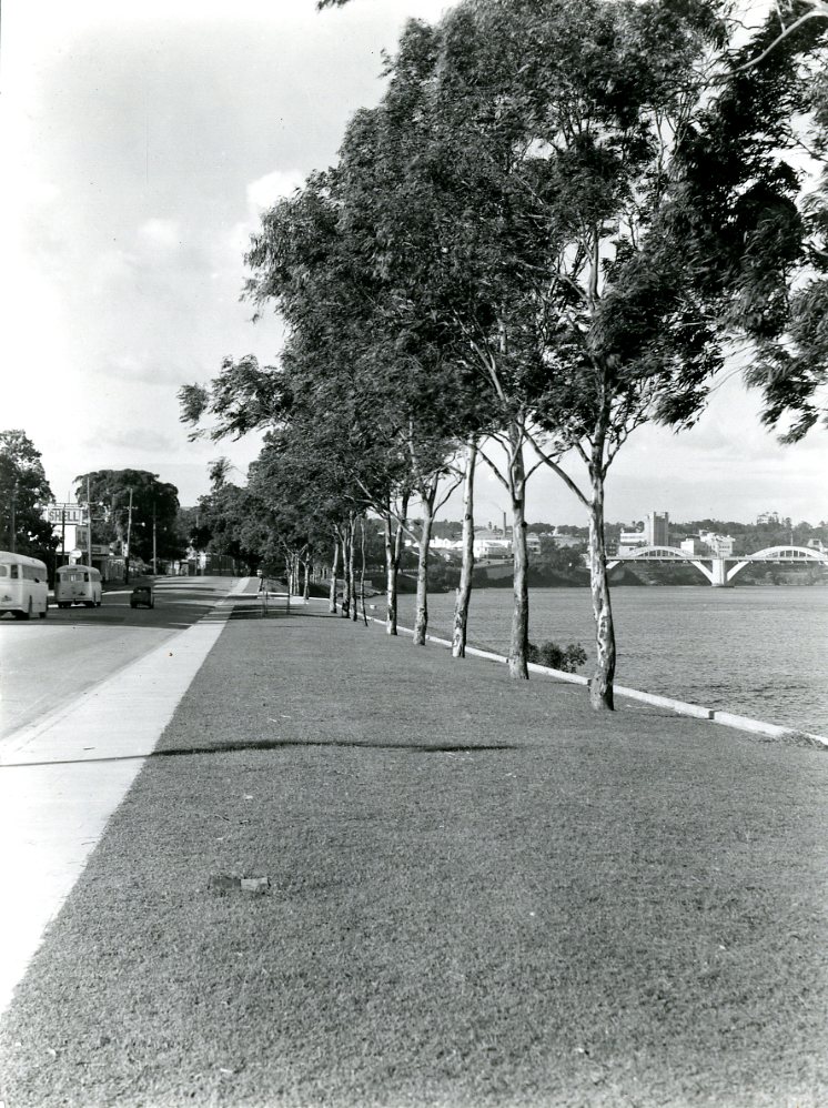
Auchenflower’s proximity to the river and the CBD has created a demand for property in the suburb, which has resulted in apartment complexes being built to satisfy the demand. This development sits uncomfortably alongside the gentrification of older Queenslander-style homes in the area.
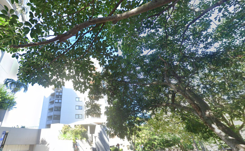
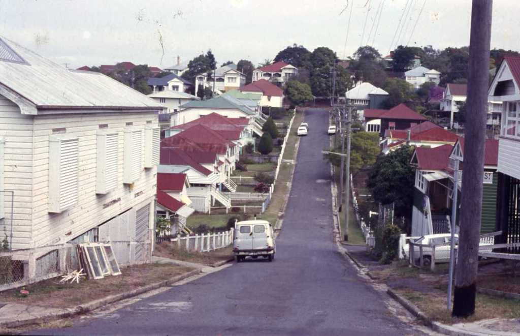
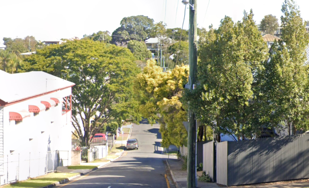
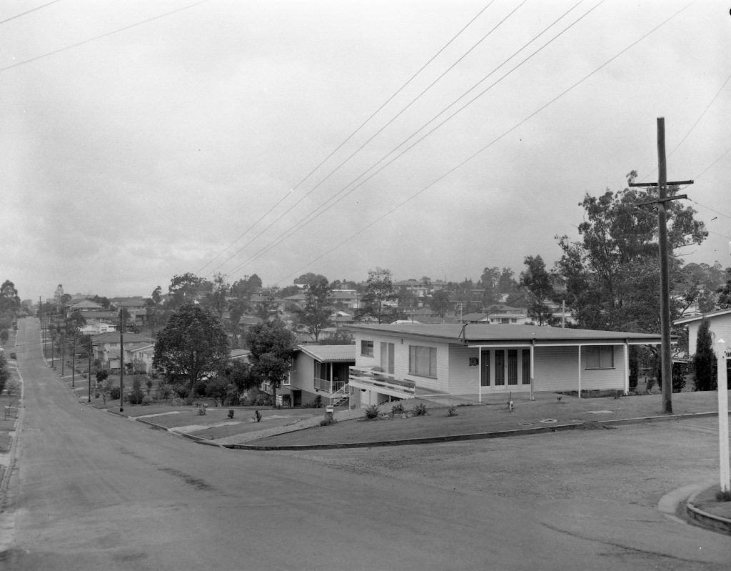
Two view of Kellett Street, showing what a little greenery can do to a streetscape.