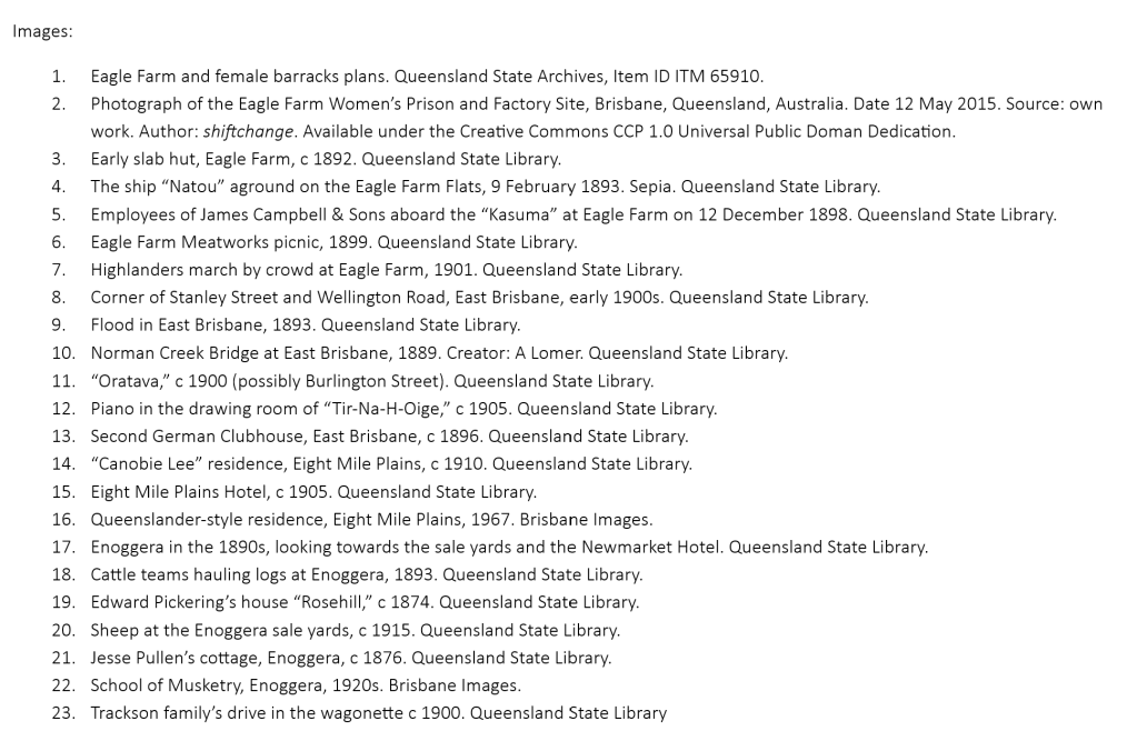
Eagle Farm
In 1829, several hundred convicts were set to work clearing bushland to create an agricultural establishment. According to legend, the presence of some eagles about the area led to the name “Eagle Farm.” Maize and potatoes were grown there for a few years before the place was set up as the Eagle Farm Women’s Prison and Factory. By the early 1830s the Female Factory in Queen Street was rather too close to the quarters for male convicts and soldiers for the Commandant’s comfort.
Exactly when the women started to live and work at Eagle Farm is the subject of scholarly contention – some put it as early as 1830, others think it was closer to 1835. At any rate, when the missionaries Backhouse and Walker visited the settlement in 1836, there were more than 40 convict women at the station. (Commandant Fyans retained a few women at Queen Street, presumably for domestic service, but ensured that they were the oldest female prisoners.)
The female prison at Eagle Farm closed in 1839, and the remaining women there were sent to Sydney. The Government used the place for farming and surveyor’s offices, before putting the land up for sale. In 1922, the Commonwealth Government acquired the land for an aerodrome. Today, it exists only as a heritage-recognised archaeological site.
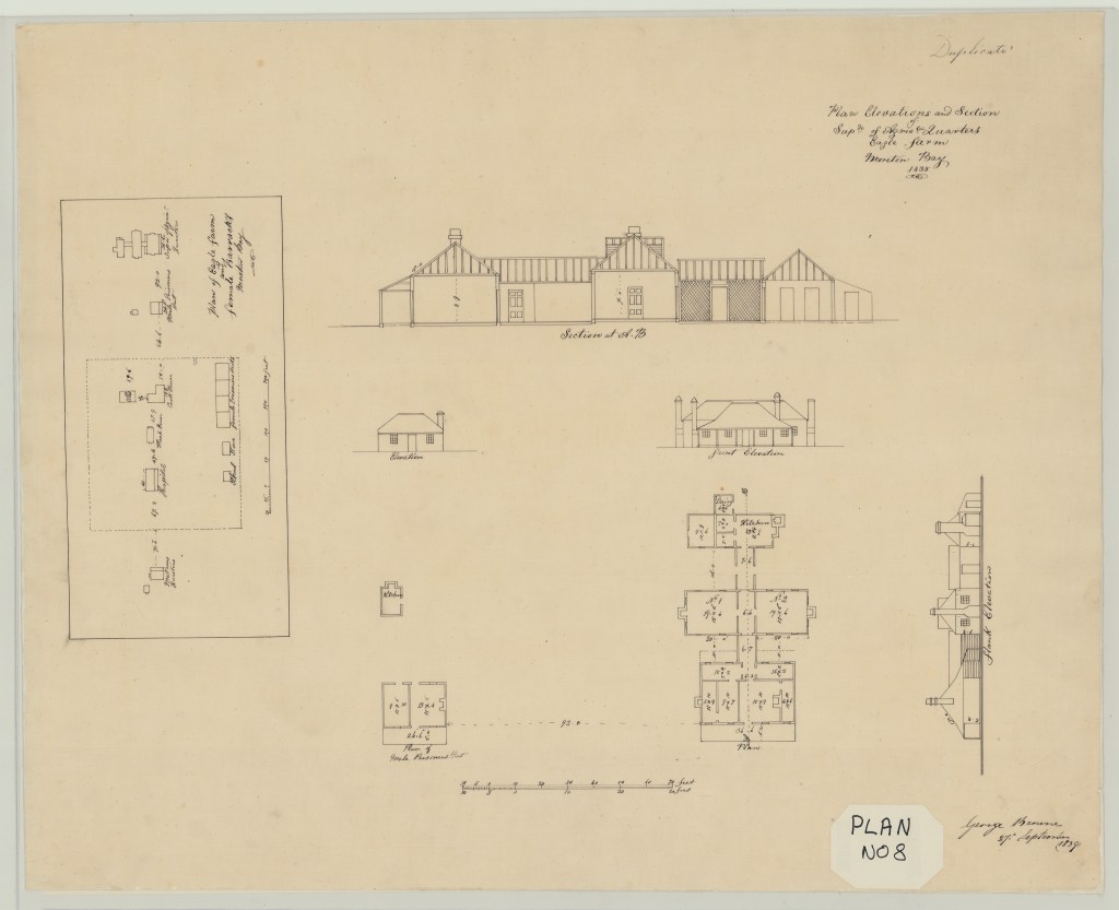


Company outings and picnics at Eagle Farm. At left: the employees of James Campbell & Sons appear to be struggling to enjoy their outing. At right: the Eagle Farm Meatworks picnic. One or two of those people are almost smiling, I swear.

East Brisbane
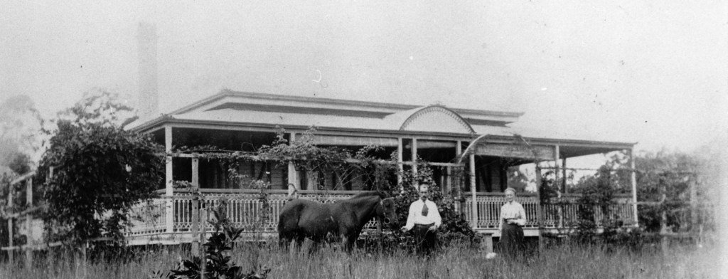
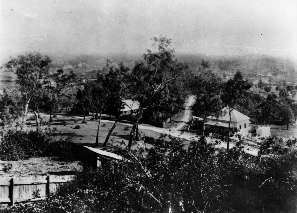
For an area so close to Brisbane town, East Brisbane took time to develop into a suburb (unlike nearby Kangaroo Point). Several stately residences were built there, but it wasn’t until the tramways came at the turn of the century that the area became more popular.


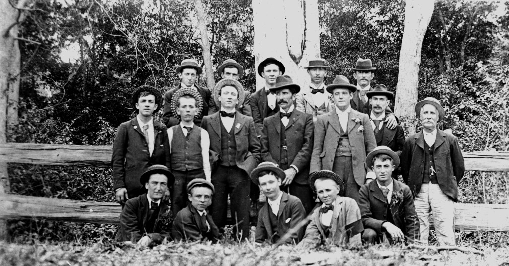
Left: the impact of the 1893 floods. Right: a view of the Norman Creek bridge.
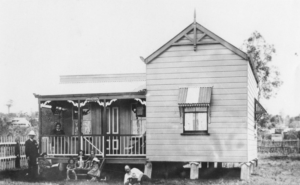
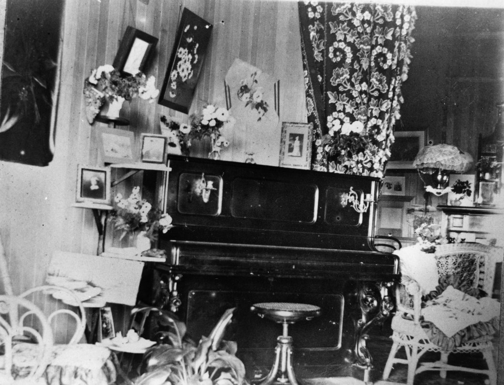
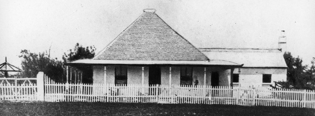
Left: “Oratava,” in East Brisbane. Right: The unfussy drawing room of Tir-Na-H-Oige.

Eight Mile Plains
A farming settlement in the 1860s, the area benefitted from proximity to Logan Road (the route to the markets), and a much-loved hotel on the Logan Road, the Glen Hotel. The Glen was a favourite overnight stopping-place for farmers and bushmen on the way to distant Brisbane (a whole 13 kilometres).


Enoggera
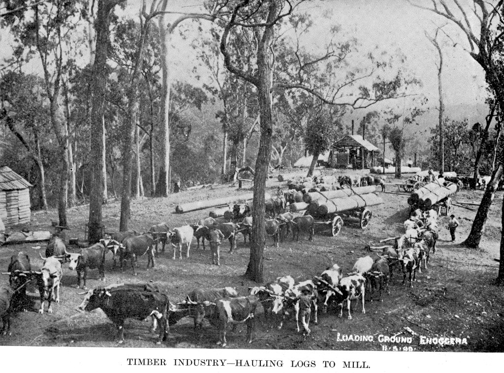
Left: Enoggera in the 1890s, looking towards the sale yards and the Newmarket Hotel. Right” Cattle teams hauling logs, Enoggera, 1893.
Enoggera is now a residential suburb, but from the 1860s, it was mostly a farming and timber-gathering area. There were sale yards there, and a couple of prominent Brisbane figures built country homes along the Samford Road. In the 20th century, Enoggera was connected to the rail network, and the Commonwealth acquired some land for a target range. Thanks to the First World War, that target range became an army camp, known today as the Gallipoli Barracks.

Left: the sale yards. Centre: Jesse Pullen’s cottage. Right: The Enoggera Musketry School.