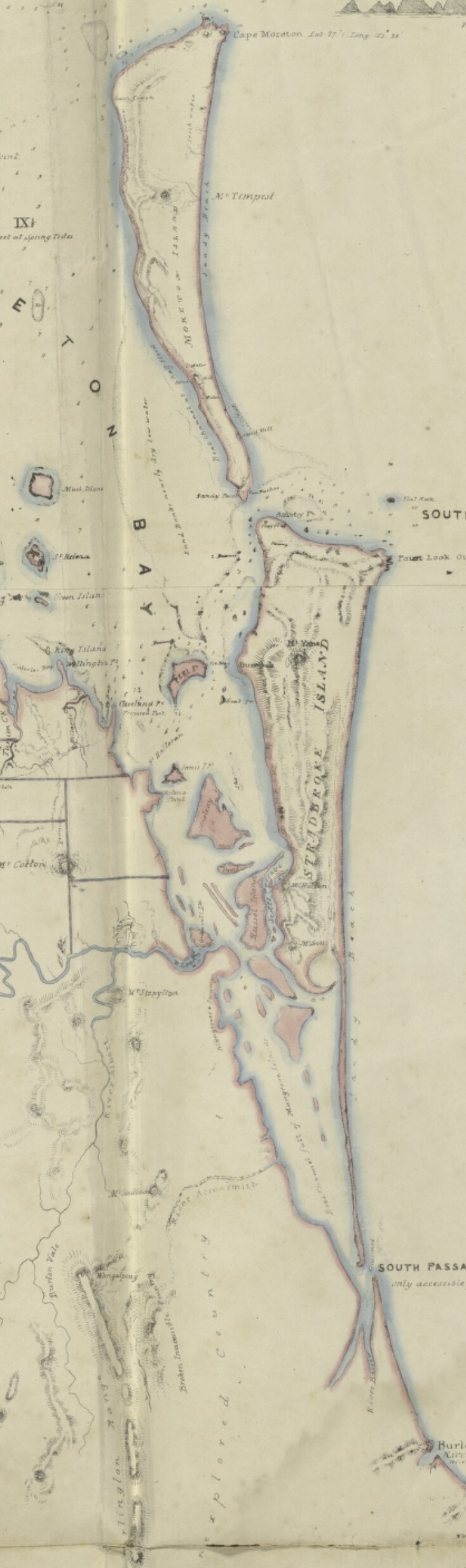
We still say “Stradbroke Island,” even though there are two Stradbroke Islands – North and South. The reason is that originally we had one “Straddie,” but it broke apart from 1894 to 1896, the result of an incursion into a vulnerable sandy area of a wrecked ship, the detonation of the explosives it carried, and wild weather.
Stradbroke Island is home to the Quandamooka people, including the Nunukal and the Goenpul. Europeans noticed it as they sailed by, Flinders stopped in looking for water, but it did not host any European residents until Thomas Pamphlett, Richard Parsons and John Finnegan landed on Moreton Island in 1823, and were taken to Stradbroke by the indigenous people who looked after them.
From 1825 until 1848, a pilot station was established at Amity Point. There were clashes between runaway convicts, soldiers, and the traditional owners in the early 1830s, usually a result of ill-treatment of Quandamooka women and girls.
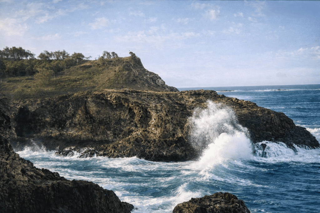
Waves crashing onto rocks on Stradbroke Island, around 1920.
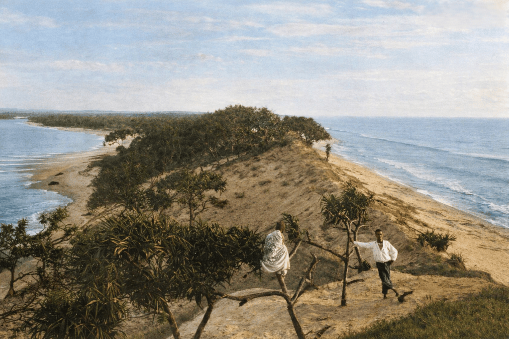
Jumpinpin, Stradbroke Island, before the breakthrough, 1890.
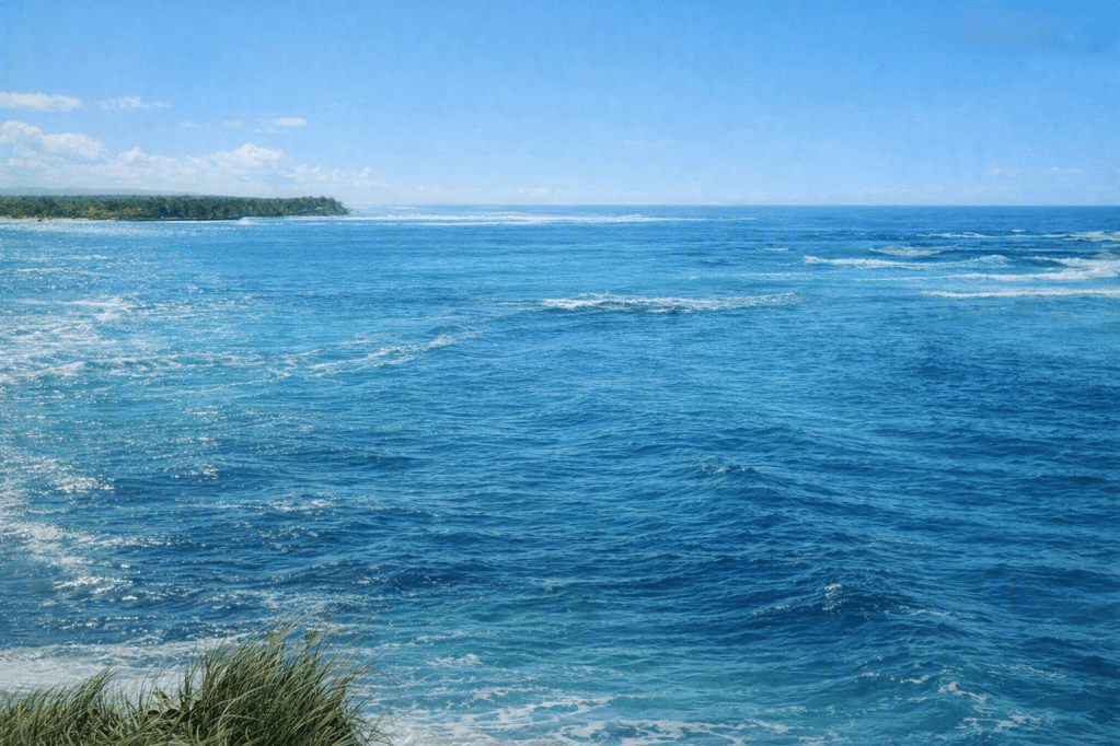
Jumpinpin, at the south end of North Stradbroke Island 1898. This photo was taken after the break that created North and South Stradbroke Islands.
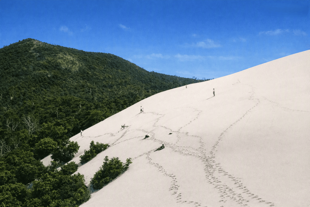
Huge sandhills on North Stradbroke island.
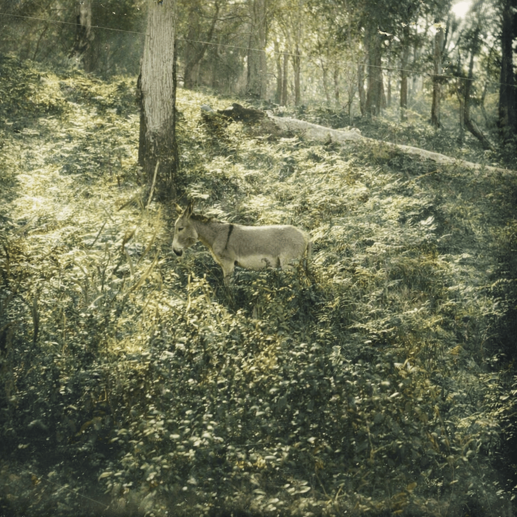
Donkey in the bush at Stradbroke Island, c 1920.
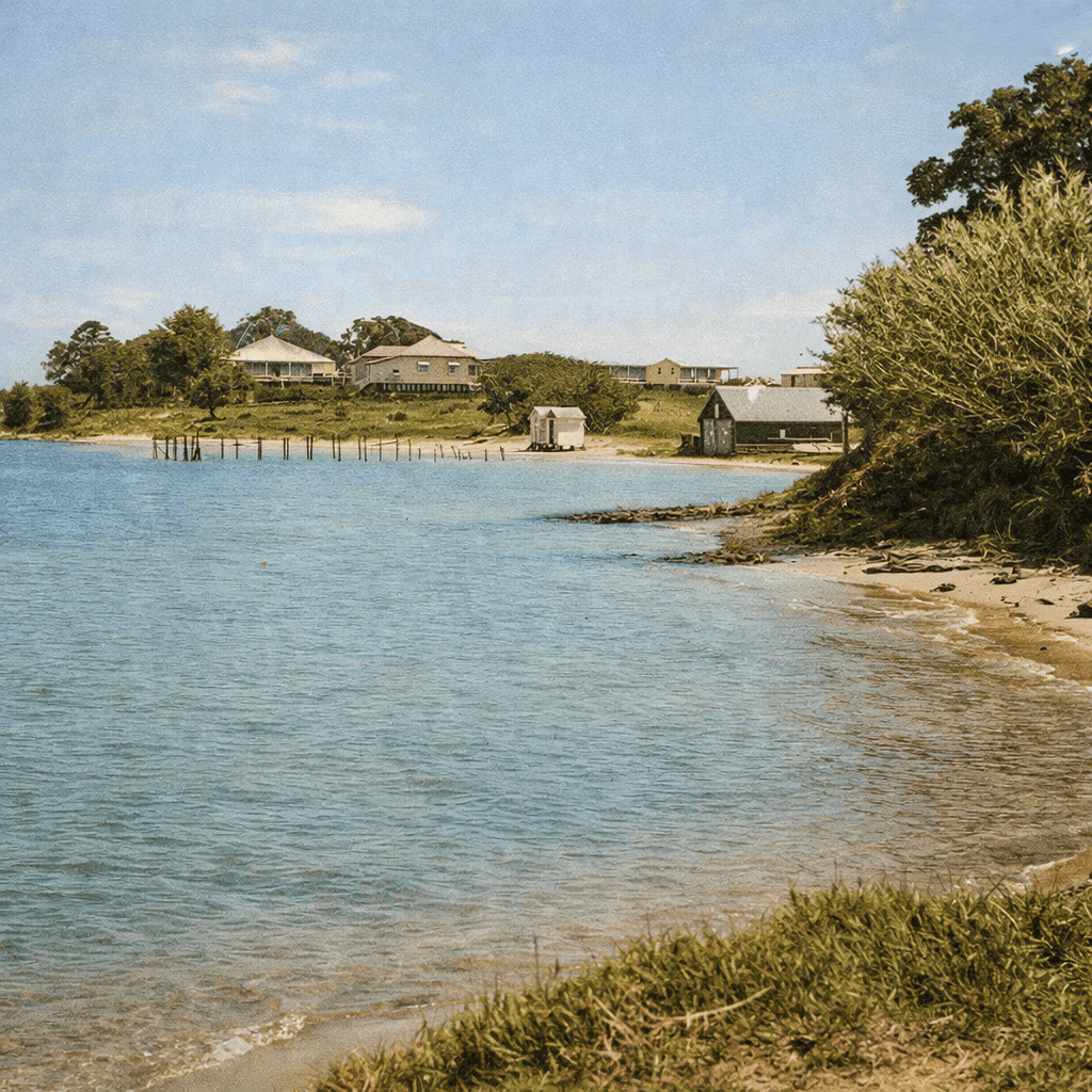
Coastal scene at Dunwich, Minjerribah, North Stradbroke Island1917.
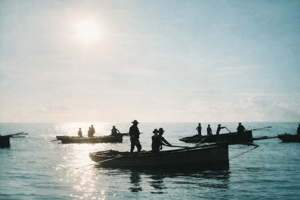
Crouch fishing fleet off Amity Point, Stradbroke Island, 1891.
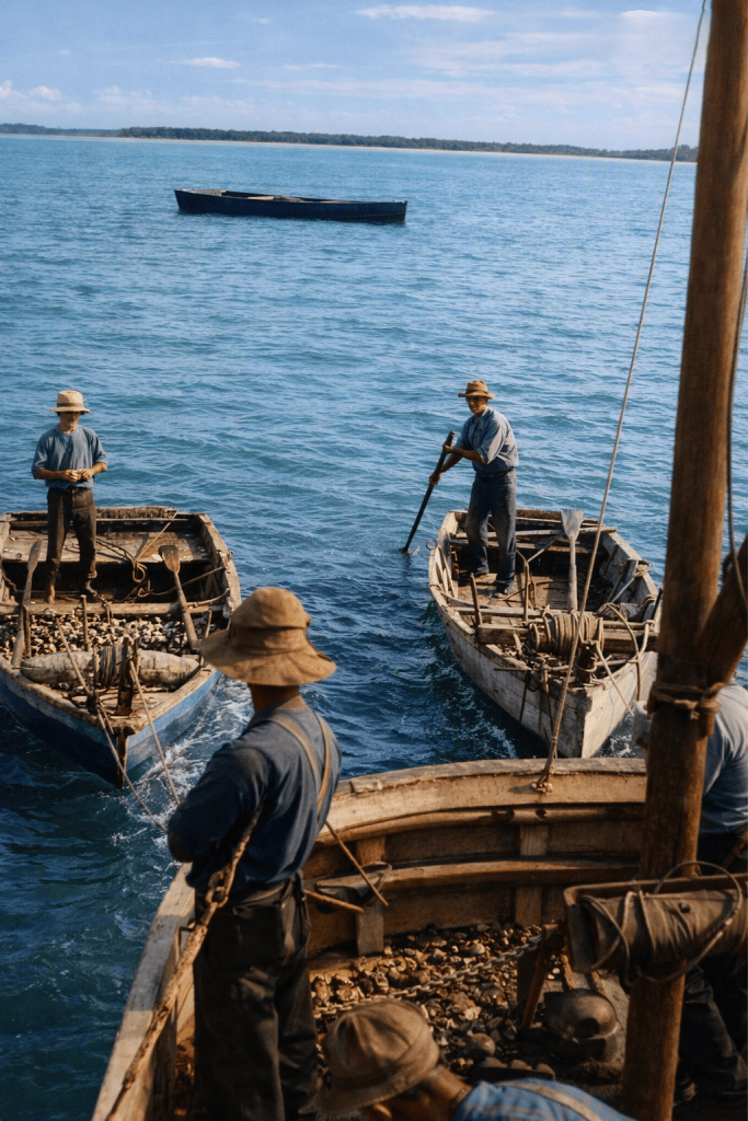
Oystering boats off Stradbroke Island, Queensland, c 1910.
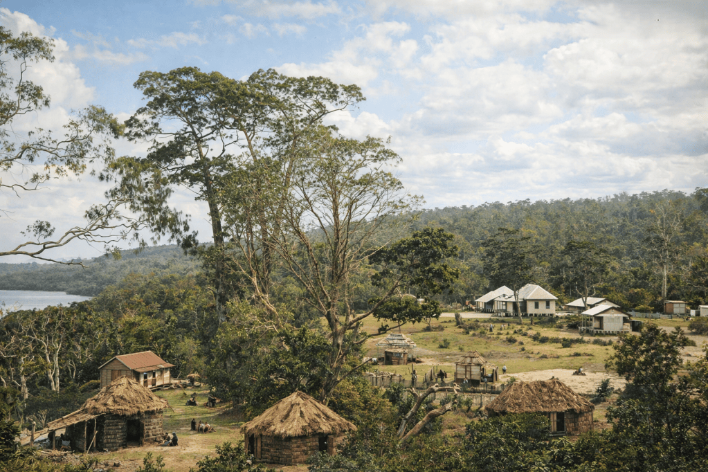
Dunwich Aboriginal settlement.
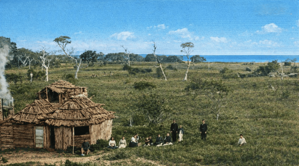
Dugong fishermen’s huts at Amity Point on Stradbroke Island, 1891.
Dugongs were plentiful in Moreton Bay until the 1850s. The Quandamooka peoples prized dugong meat, and hunted them in a way that did not threaten the survival of the species.
Dugong oil was even more prized by Europeans, who thoughtfully hunted the creatures to near-extinction. Happily, the Moreton Bay Marine Park has declared designated go-slow areas for areas where dugongs (and turtles) are known to gather.
Fernandez Gonzalez at Amity on Stradbroke Island, 1891. I wonder if this is Fernando Gonzalez, a Filipino fisherman who was robbed by the Norfolk Island pirates several decades earlier.
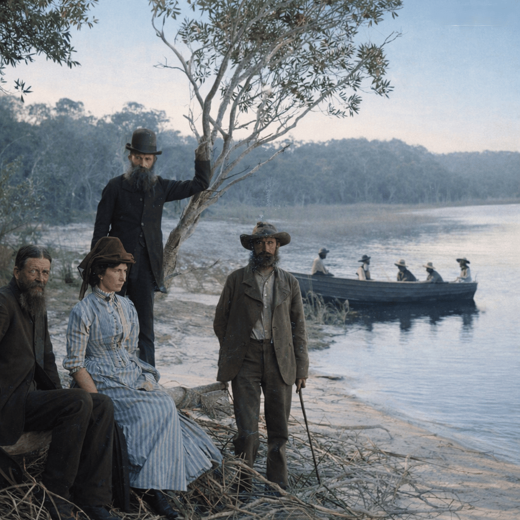
Group of visitors on an excursion to Stradbroke Island, c 1885. The lady looks furious. The men look sheepish. I’m willing to bet one of the men was in charge of remembering Something Important – the picnic basket, the tea, the map?
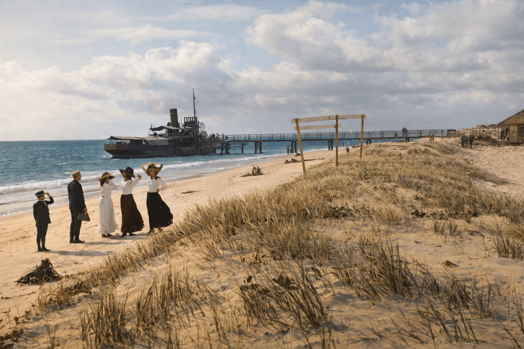
Family on the beach near the South Passage landing jetty at Amity Point, Stradbroke Island, c 1910.
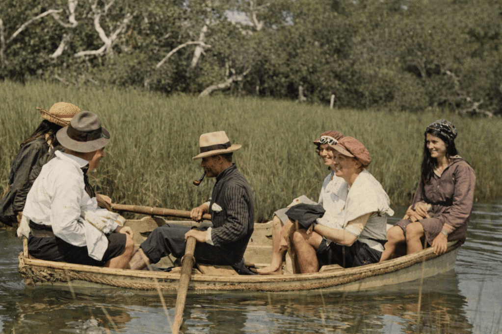
Six people on a very small rowboat at Myora Springs, North Stradbroke Island, Easter, 1918. What could possibly go wrong?
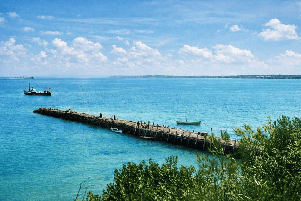
Jetty at Dunwich on Stradbroke Island, 1880s.
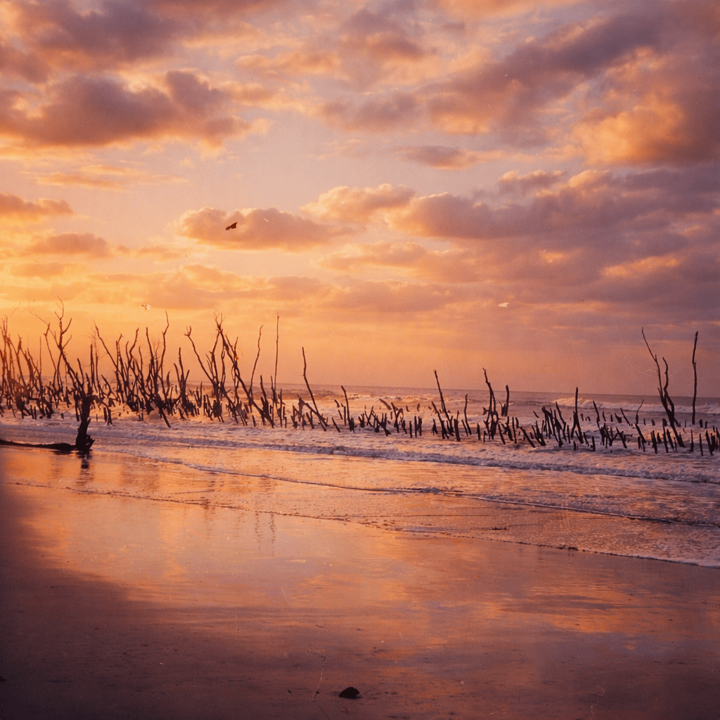
Large number of dead trees at water’s edge on Stradbroke Island, 1920.
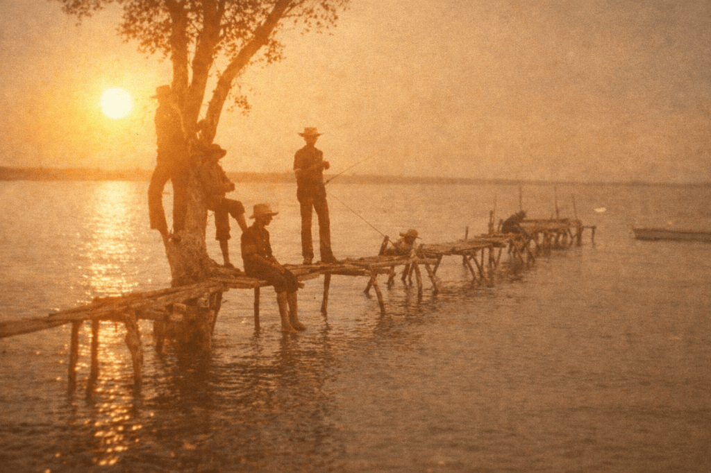
Tippler’s jetty, South Stradbroke Island, 1901. Whoever built that jetty had definitely been tippling.
All images are taken from the digital collection of the State Library of Queensland, and are out of copyright. AI colourisation by Copilot.
This image is taken from a map of Moreton Bay made by Surveyor Robert Dixon c 1842, and shows the relative positions of Moreton and Stradbroke Islands. It also shows Stradbroke Island before it broke apart and became two Islands.
Baker, W. (William) & Dixon, Robert, 1800-1858 (1846). This map of Moreton Bay. [Printed and published by W. Baker], [Sydney]