
A small revolution took place in the 19th century workplace. Women started to be admitted into professional and administrative fields – very slowly, and very quietly. The women were quiet about it – the men who faced what they believed to be the erosion of the natural order of things were not quiet. This isContinue reading “Women at Work”
Tag Archives: Early Photographs
The A-Z of Old Brisbane – Chermside and Clayfield.
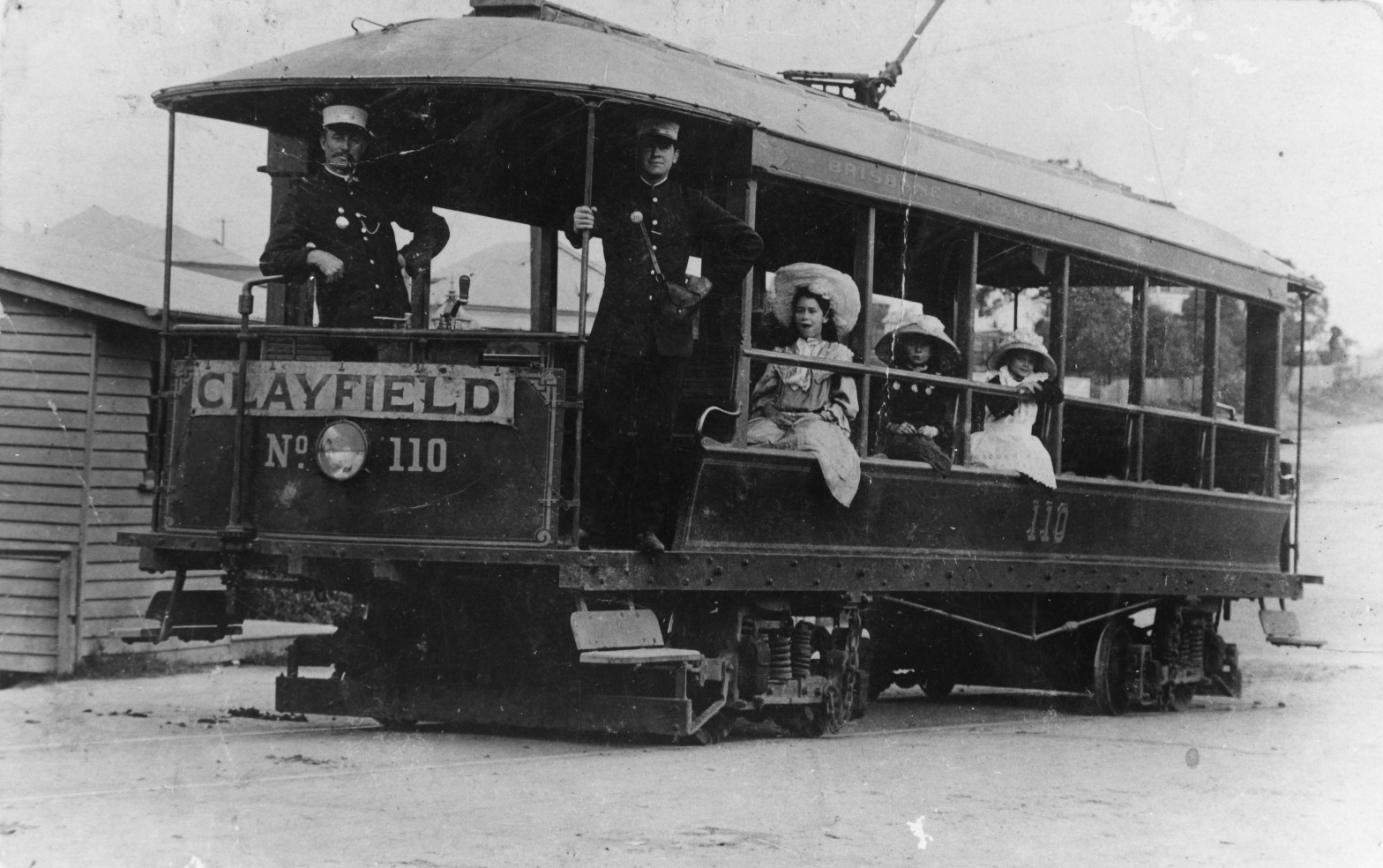
Chermside Chermside, in Brisbane’s north, grew into a suburb because of it’s location on Gympie Road. Gympie Road was the main road to the gold diggings, and gradually became the main road out of town for those heading up to the Sunshine Coast and beyond. Today, Chermside is best known for an enormous and historicalContinue reading “The A-Z of Old Brisbane – Chermside and Clayfield.”
The A-Z of Old Brisbane – Camp Hill, Cannon Hill and Chelmer.
Camp Hill Camp Hill gets its name from either the Four Mile Camp (a stopover on the road to bayside Cleveland), or from a place where bullock teams camped when loaded with supplies for Cleveland. At any rate, people camped there and there were hills. Cannon Hill Cannon Hill, also quite close to the city,Continue reading “The A-Z of Old Brisbane – Camp Hill, Cannon Hill and Chelmer.”
The A-Z of Old Brisbane – Bulimba.
Bulimba, a suburb nestled on the Brisbane River, began life as a rural community in the early 1850s, connected to Brisbane town by ferry.In the late 19th century, several industrial premises polluted Bulimba Creek, making it rather less attractive to residents. Reclamation of the land for residential development, and the proximity of the river, hasContinue reading “The A-Z of Old Brisbane – Bulimba.”
The A-Z of Old Brisbane – Brookfield
Brookfield, when it was first settled in the 1860s was a peaceful, semi-rural suburb of Brisbane. Unusually, it still is peaceful and semi-rural. It’s a place of large housing blocks, pony clubs, and (today) rather a lot of SUVs. Here is a quick visual tour of Brookfield over the decades. (Photo credits below).
The A-Z of Old Brisbane – Old Brisbane Town.
A pictorial trip through Brisbane Town, taking in the main areas we now call the central business district. All images unless otherwise stated are from the State Library of Queensland. Queen Street George Street South Brisbane Notable Buildings and Sites Views
The A-Z of Old Brisbane: Belmont.
A photographic journey through the origins of the suburb of Belmont. Above left: Sorting wool at Belmont Wool scour, Queensland, 1900-1910. Original version: photographic print: black & white, 1900-1910, Negative number: 168815. Summary: Workers sorting wool at the Belmont wool scour in the early 1900s. Large bales are open revealing the fleece. State Library ofContinue reading “The A-Z of Old Brisbane: Belmont.”
The A-Z of Old Brisbane: Bowen Hills
A photographic look at one of Brisbane’s oldest suburbs. Bowen Hills was named (like rather a lot of things and places) after Queensland’s first Governor, Sir George Ferguson Bowen. It grew into a district in the 1860s, and many of its landmark places and buildings are still in existence, including Cintra House, Bowen Park, theContinue reading “The A-Z of Old Brisbane: Bowen Hills”
The A-Z of Old Brisbane: Bardon.
A look at Bardon through its historical houses. Bardon House. Bardon House was built in 1863 by Joshua Jeays, an early Brisbane businessman and local government official. It is now part of St Joseph’s Bardon school grounds. Rainworth. Rainworth was the home of Sir Augustus Charles Gregory (1819-1905), the surveyor and explorer. Gregory drew theContinue reading “The A-Z of Old Brisbane: Bardon.”
A-Z of Old Brisbane: Aspley and Auchenflower.
Aspley Aspley, 12 kilometres north of the CBD, was a semi-rural area until Brisbane’s housing belt expanded in the 1970s. There were land sales in the area more than 120 years prior to that, and the area around the Gympie Road became home to small farm holdings, such as the Matthews’. Gympie Road was theContinue reading “A-Z of Old Brisbane: Aspley and Auchenflower.”
 Moreton Bay and More