[Although there is a suburb in Brisbane called Upper Brookfield, the only images I’ve been able to find of it in the early days are included in the Brookfield post.]
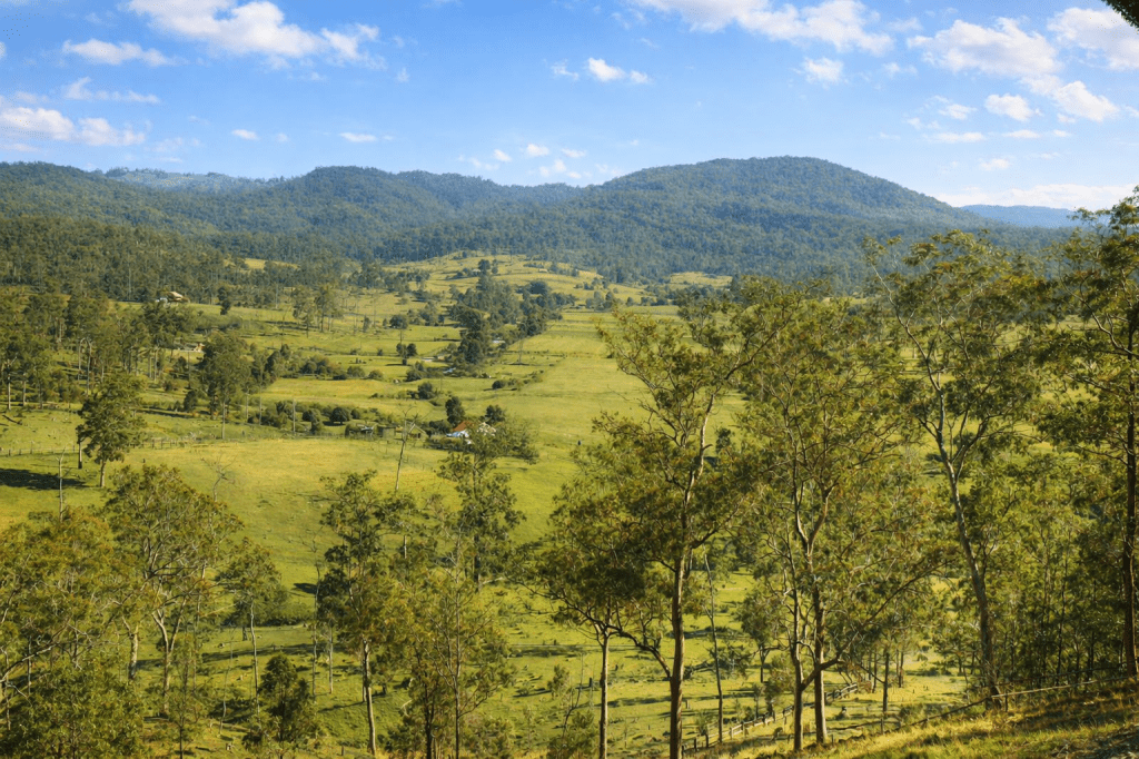
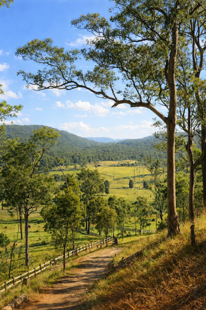
Upper Kedron
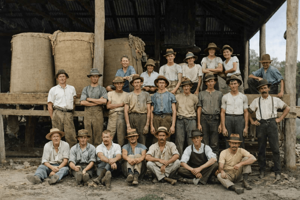
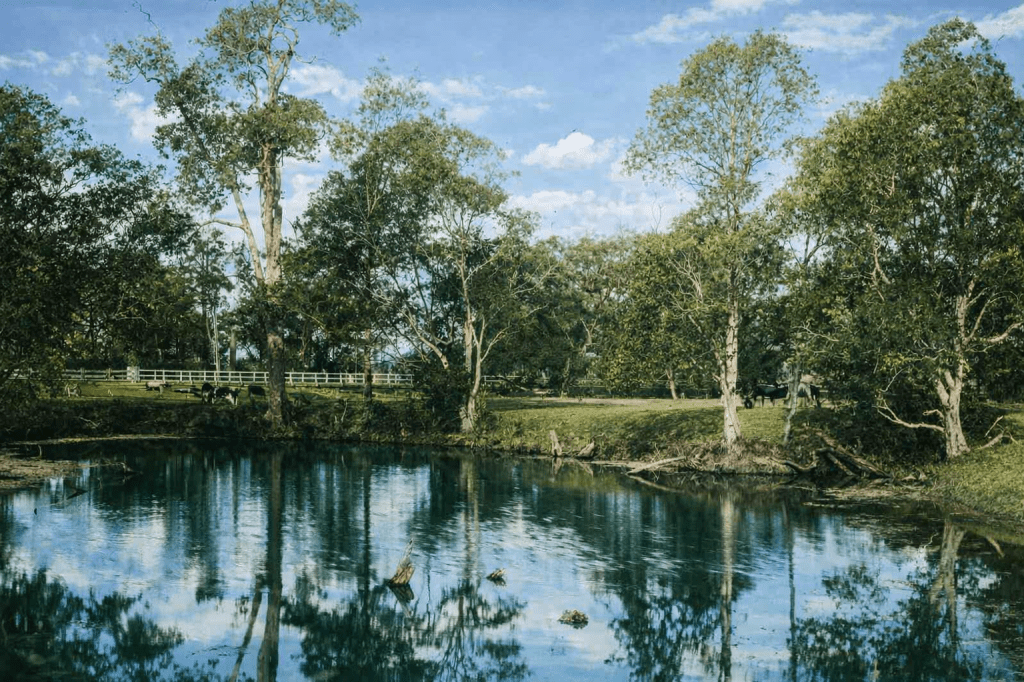
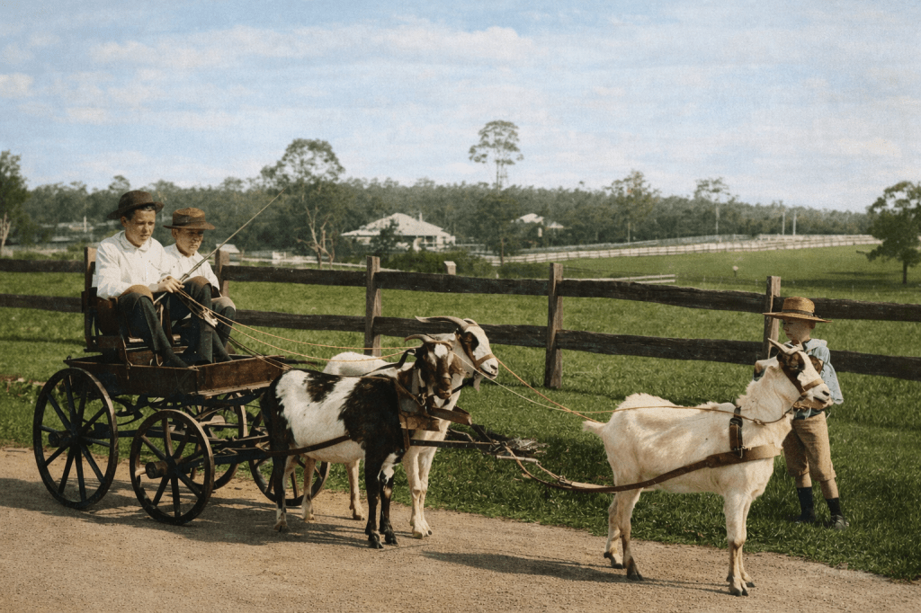
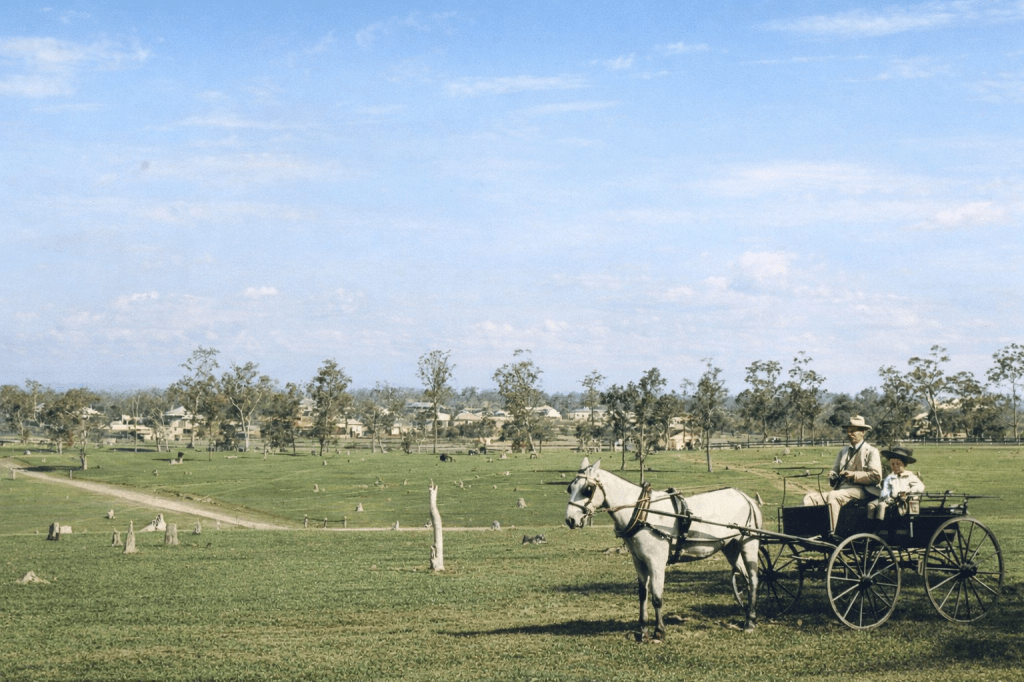
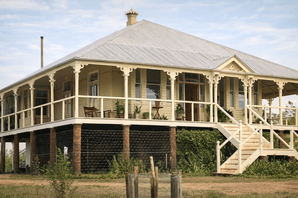
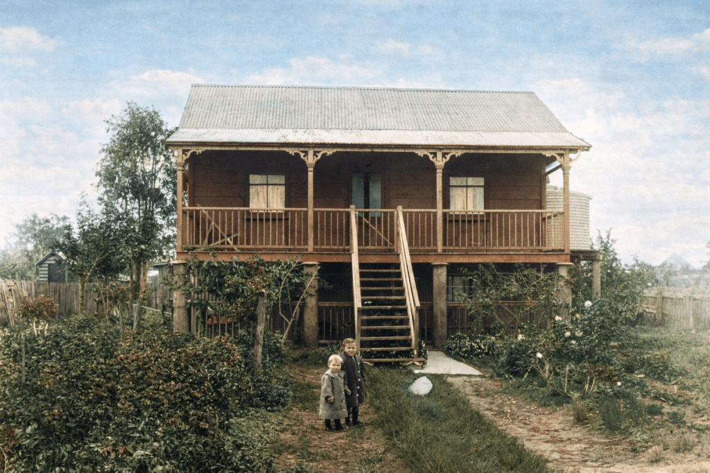
Tucked alongside Keperra and Ferny Grove is a beautiful semi-rural, semi-residential suburb called Upper Kedron. It is, Wikipedia helpfully informs me, 13 kilometres away from Kedron itself. It began as a farming district, and one particular farming family took three beautiful photos of it in 1920.
Upper Mount Gravatt
The area that is now known as Upper Mount Gravatt wasn’t officially named until the 1960s, but it was always a distinct rural and semi-industrial area.
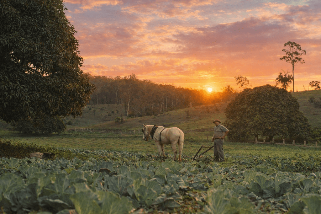
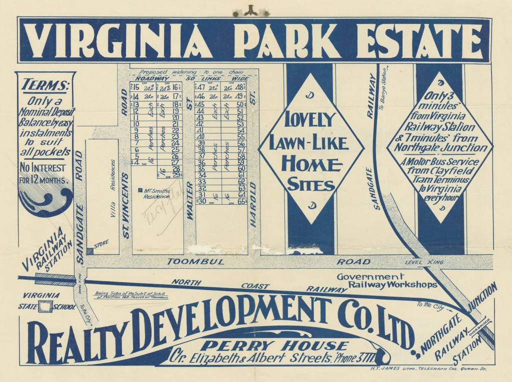
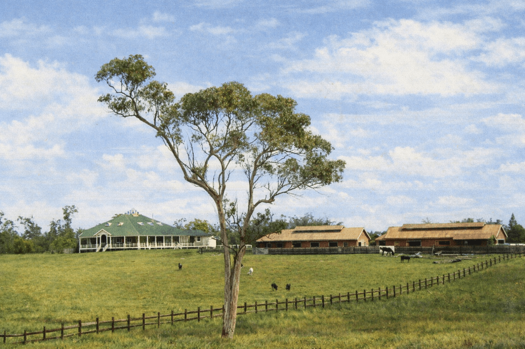
Virginia
In the 19th century, Virginia was farming land around Downfall Creek and Zillman’s Water Holes. The railways came, the suburb was named, and land was sold off as “lovely, lawn-like home sites,” close to the train and bus lines.
Yeerongpilly
Yeerongpilly became a location when the railways came through. In 1909, a government stock research station was set up in the quiet fields near the Rocky Water Holes (Rocklea).
Yeronga
Yeronga, on the Brisbane River, was opened up to farming as early as the 1840s, and residential sales in the 1850s.
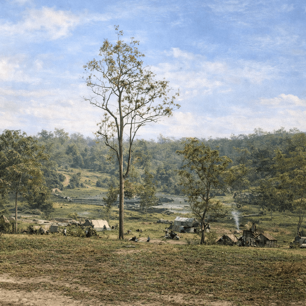
York’s Hollow
York’s Hollow, or Barrambin, was not technically a suburb, but it is another place in Brisbane that holds enormous cultural and historical significance for the indigenous people. Europeans called the area York’s Hollow after a prominent indigenous man nicknamed the Duke of York.
This is the earliest image I could find of the area, taken in 1864, and it shows some indigenous housing, as well as a couple of tents and huts, probably erected by early European settlers. The wetlands remain, but the land has been extensively cleared. It is now part of Victoria Park, which has been set aside for an Olympics 2032 venue. A lost world indeed.
Zillmere
Zilmere is another off-shoot of the German Mission to the indigenous people, which began in the 1830s. Johan Zillman settled in the area after the mission was abandoned, and Zillmere is named in his honour. Initially rural and industrial, it became a residential suburb in the 20th century.
All images are taken from the digital collection of the State Library of Queensland, and are out of copyright. AI colourisation by CoPilot.
Information from the Queensland Places website, Wikipedia, and Barrambin: The Windy Place – Barrambin Project

I lived in Zillmere for a while and enjoyed it. -M
LikeLike
Thank you Michael. It’s a lovely part of the world – then and now.
LikeLike