Plus, a photo-bombing horse.
West End
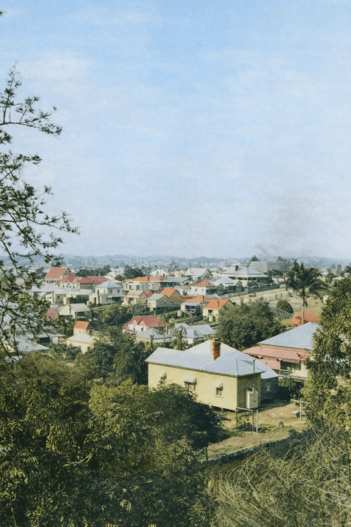
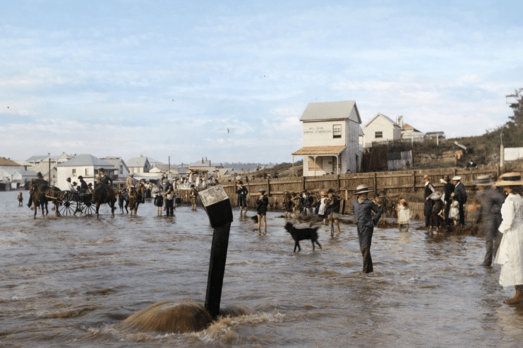
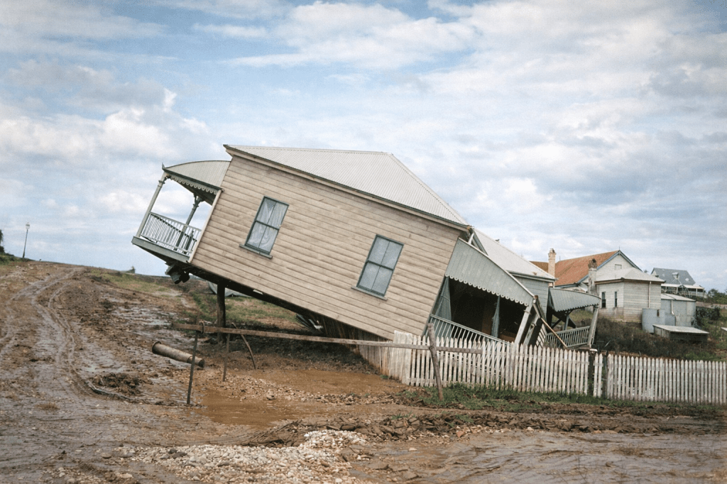
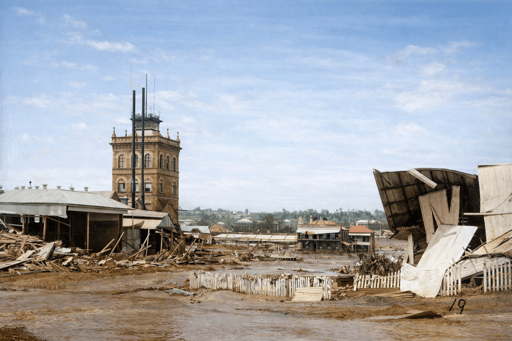
West End, on the southern side of the Brisbane River, grew from farmlands to a suburb as the advent of regular ferries, the Victoria Bridge, and the rail network allowed easy travel back and forth to Brisbane central. Parts of West End are quite hilly, while other areas are low-lying, and prone to flood damage.
Wickham, Wickham Street and Wickham Terrace
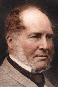
Captain John Clements Wickham was a Scottish naval officer, who once commanded Charles Darwin’s Beagle. After retiring from service, Wickham became the Police Magistrate at Moreton Bay in 1843. Wickham’s steady approach to managing the district, his survey work, and stewardship of the community is shown by the prominent streets and sites named after him. Legend had it that the path across the ridge just above the settlement was Wickham’s favourite path for a relaxing horse ride, and was named Wickham Terrace for that reason.
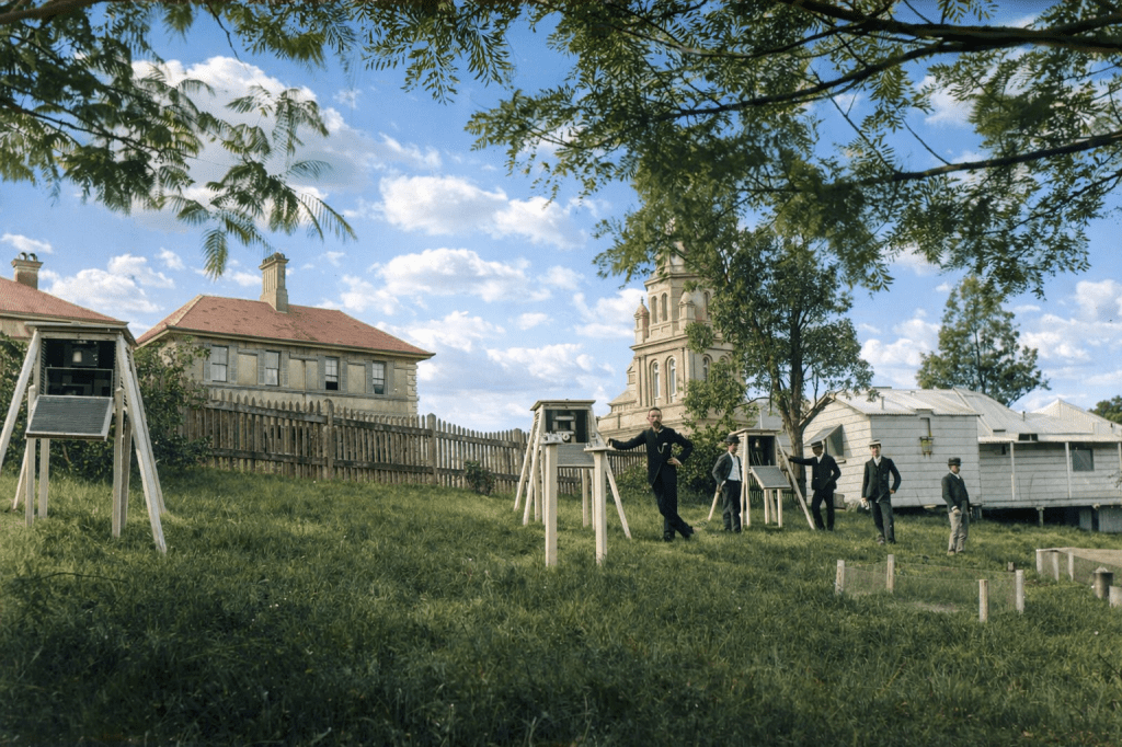
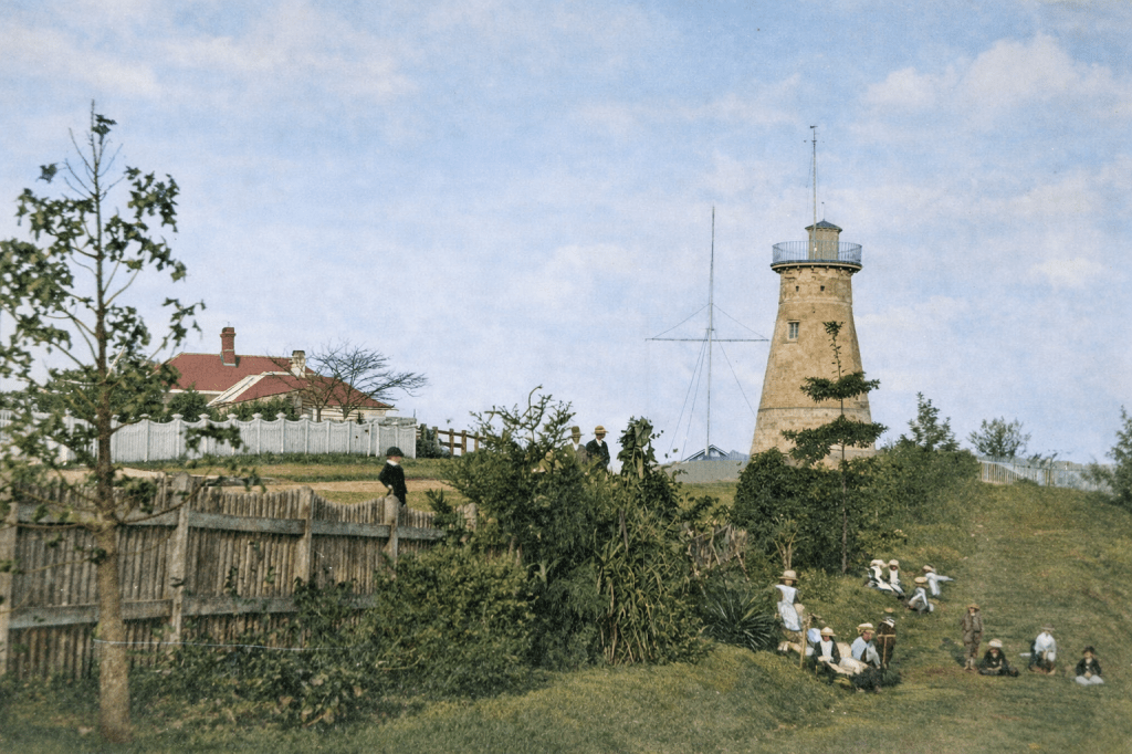
There are more than 20 historical sites along Wickham Terrace, starting with the 1828 Windmill, and ending with the eye-poppingly ugly 1970s Council carpark. Here are some of the older Wickham Terrace homes in their heyday.
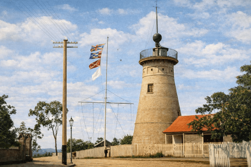
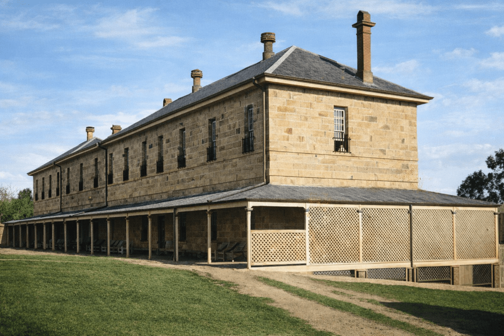
Windmill
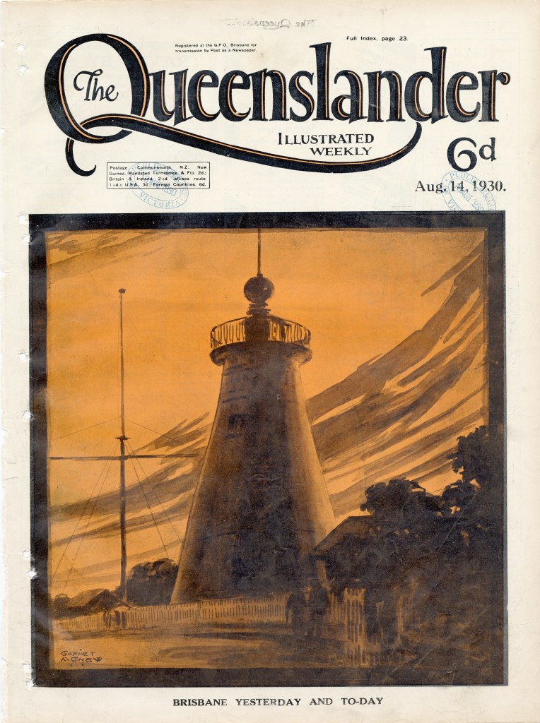
The Convict Windmill on Wickham Terrace was built by the convicts who would then work it, between July and October 1828. A treadmill was installed as a disciplinary measure, and also because the sails weren’t well set up. Grinding stopped in the 1840s, and the mill sat empty and under threat of demolition. The fact that it survived, and is now the oldest existing structure of its kind in Australia, is something of a miracle.
The Windmill Correspondent
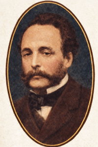
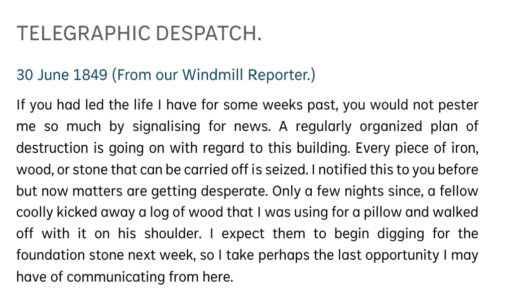
William Charles Wilkes was a former convict who parlayed his writing skills into a career as a journalist and editor. He was the second editor of the Moreton Bay Courier, and the author of a series of hilarious articles by the “Windmill Correspondent.” Pretending to be a poor scribbler reduced to living in the abandoned Convict Windmill, he conjured up social satire and keen observation. When the Windmill was put up for sale, old Brisbane made off with just about everything that could be carried away:
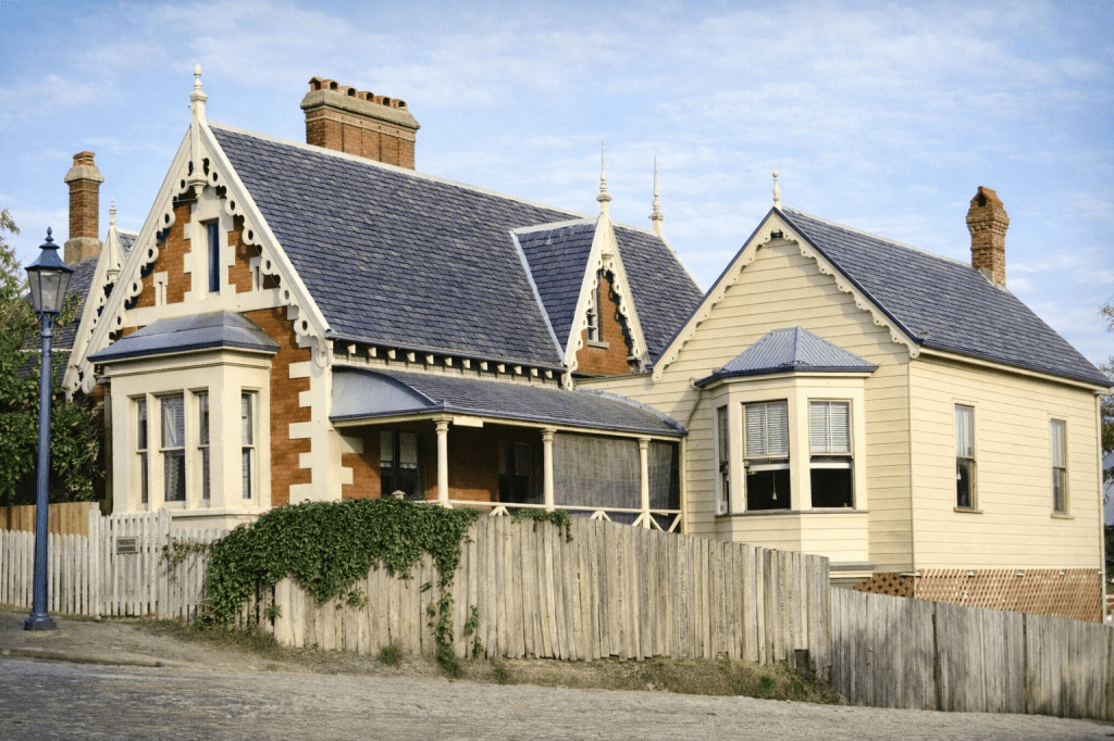
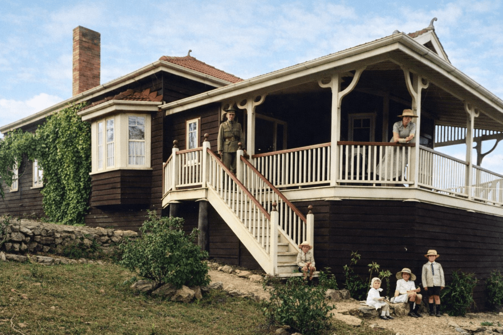
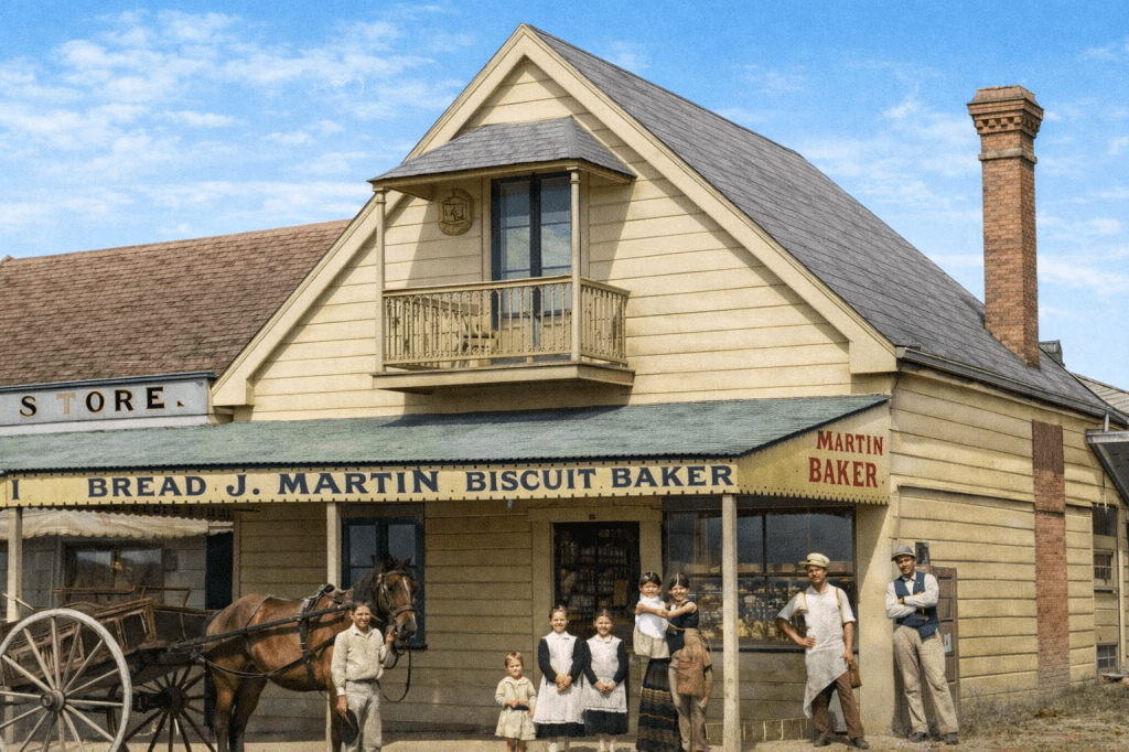
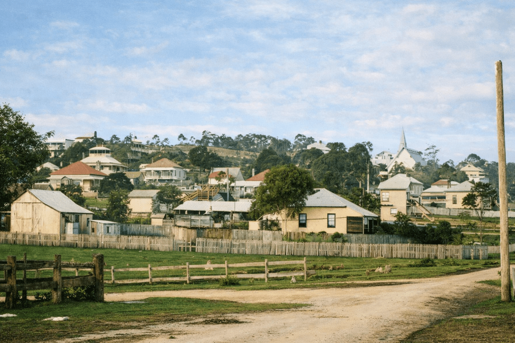
Wilston
Wilston is a northern suburb of Brisbane, 5 kilometres from the CBD. It is named after Wilston House, which, confusingly, seems to be in Newmarket. At least now, it is. I think.
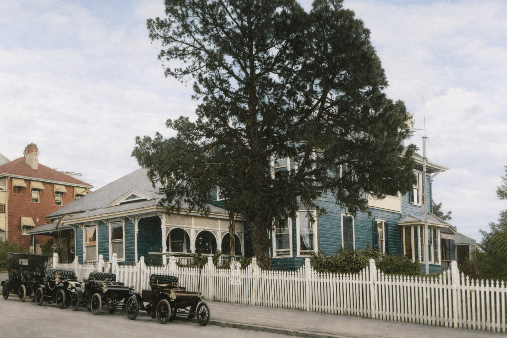
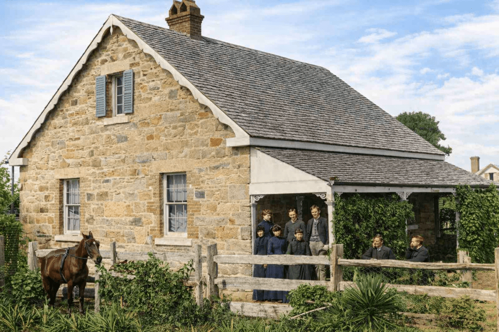
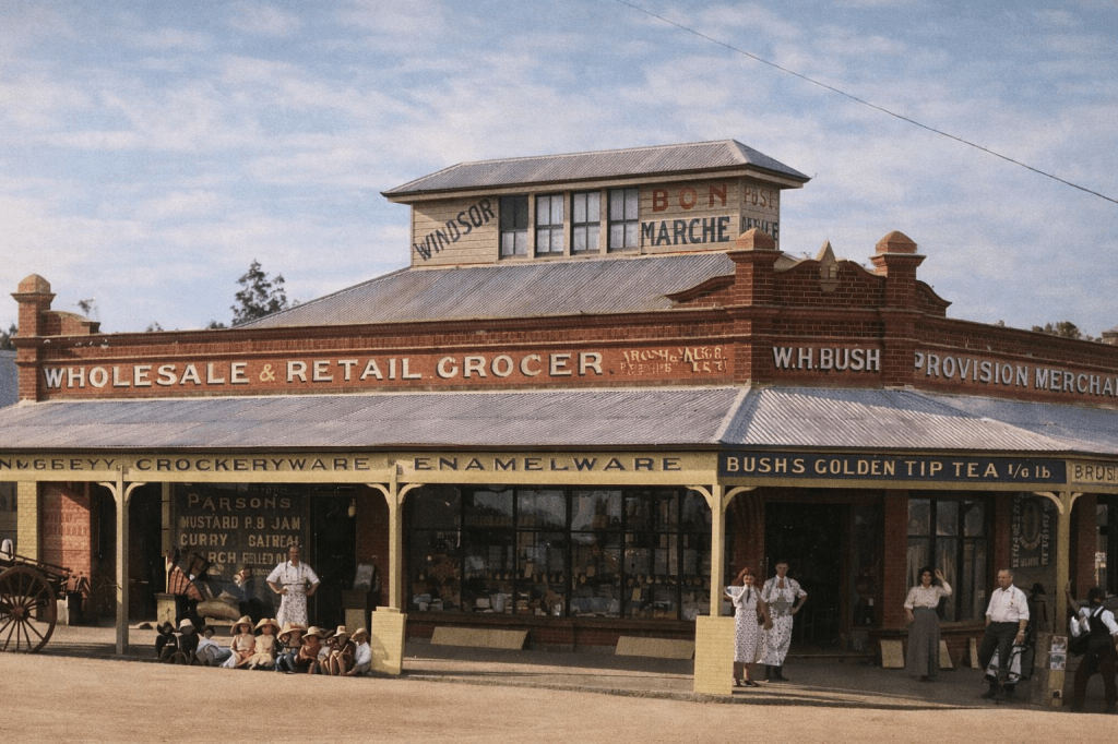
Windsor
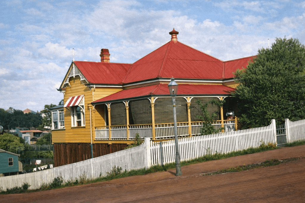
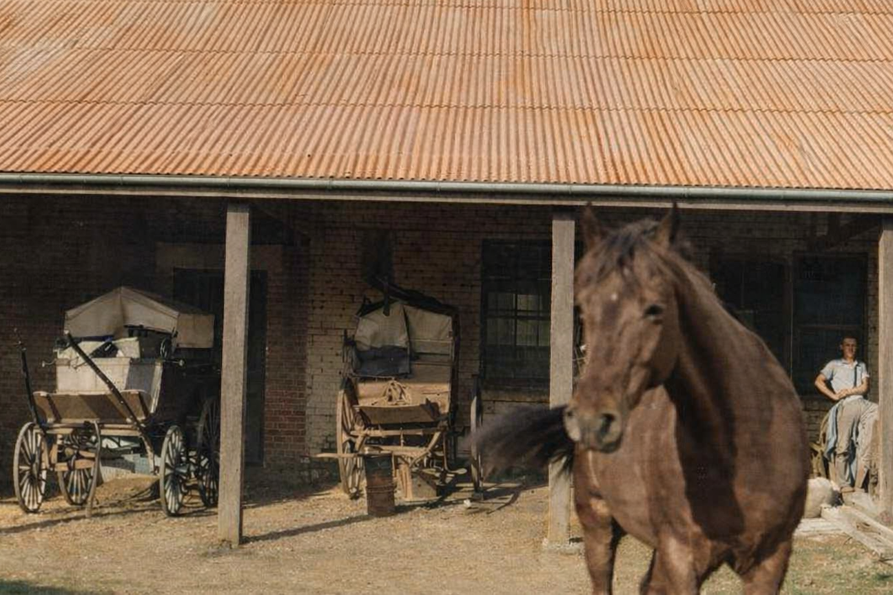
Windsor is 3.5 kilometres north of Brisbane central, making it a pioneer and farming area until well into the 1870s. Now, it’s a flourishing urban area with a decent share of heritage homes and property values that make one feel faint to even begin to consider them.
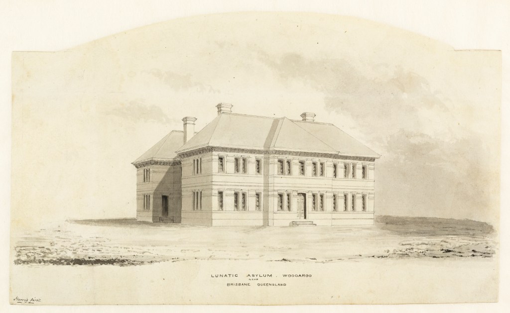
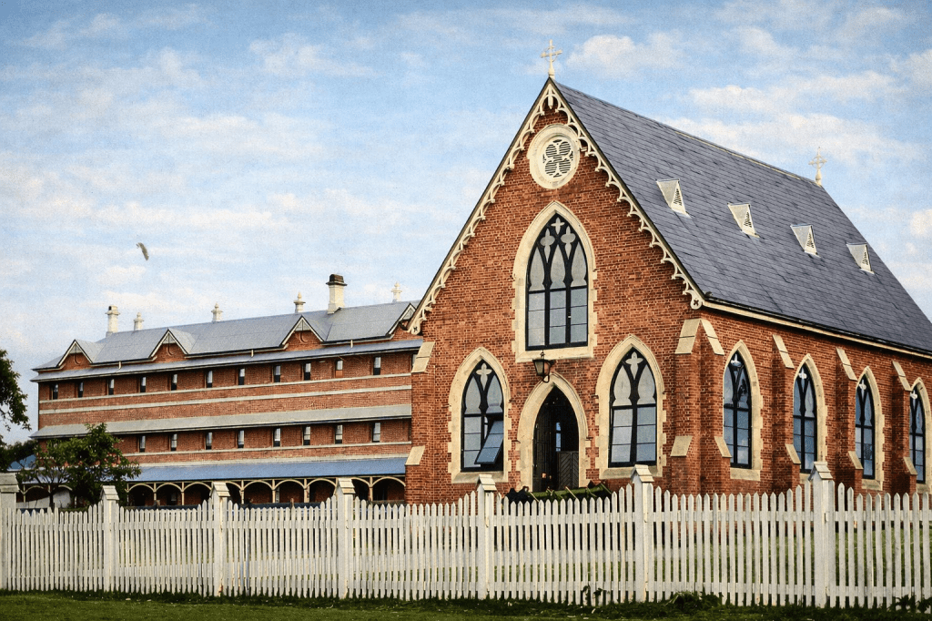
Woogaroo
This is not a Brisbane place, per se, but its existence loomed large over old Brisbane. Prior to the opening of the Asylum at Woogaroo, people who were examined by a medical professional, and found to be suffering a mental illness, were housed in the Hospital, the Gaol, or were sent to Sydney for long-term care.
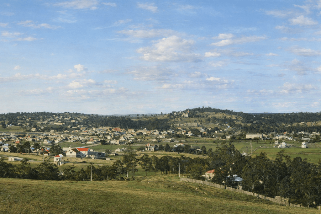
Woolloongabba
Woolloongabba’s name derives from indigenous terms that divide historians and linguists. It may mean either “whirling waters” or “fight talk place.” Nevertheless, it’s a great improvement on the original European name for the area, One Mile Swamp.
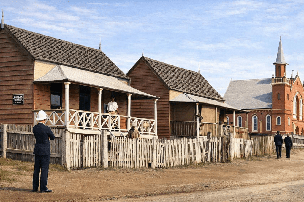
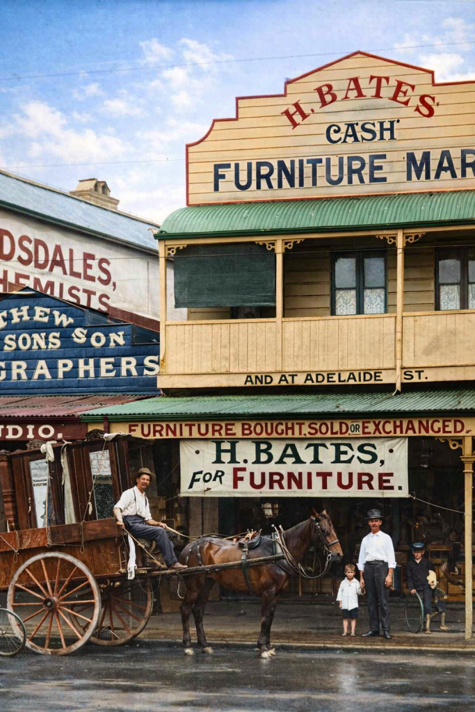
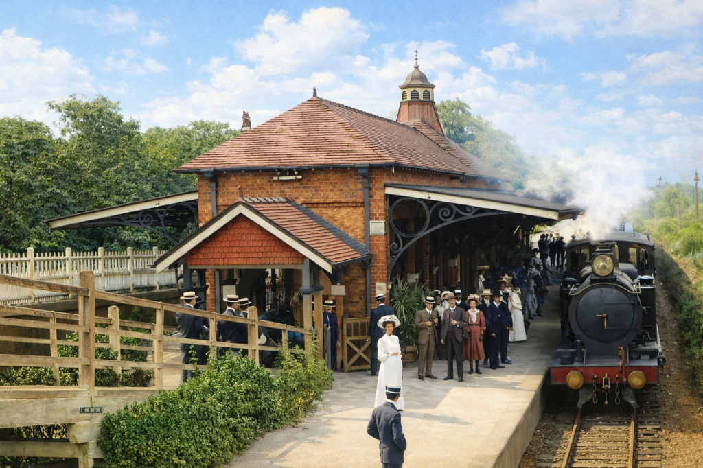
Wooloowin
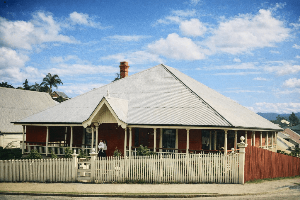
Wooloowin is another suburb with a disputed indigenous name – it may mean a type of pigeon or a species of fish. I’ll let wiser minds determine that one. Judge Lutwyche built his home, Kedron Lodge, named for Kedron the suburb, in Wooloowin (not Kedron or Lutwyche). But now it’s in Kalinga. Apart from the Judge’s house, Wooloowin has a wealth of heritage places. Here’s how it began.
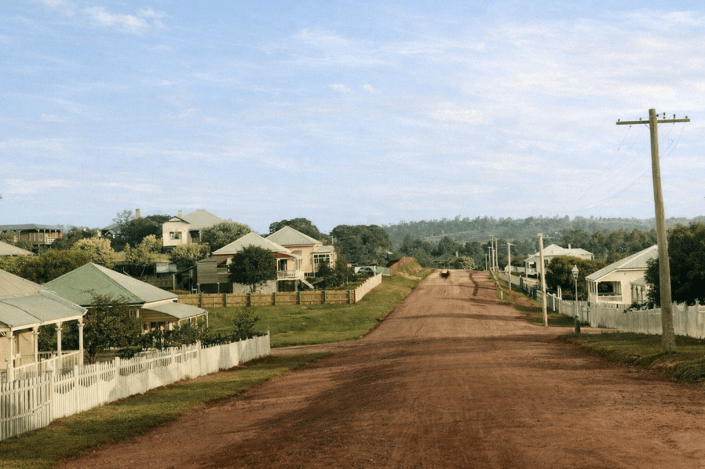
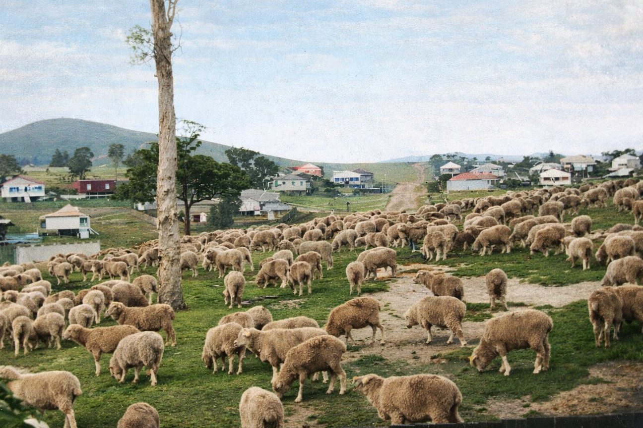
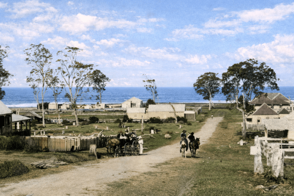
Wynnum
Wynnum, 19 kilometres from the centre of Brisbane, had an enduring and largely undisturbed indigenous community presence throughout the 19th century. Admittedly, their chosen area was called “Black’s Camp,” by the Europeans, but at least they remained in place and were largely able to continue their traditional way of life. Until, of course, we made it impossible.
All images are taken from the digital collection of the State Library of Queensland and are out of copyright. AI colourisation by CoPilot.
Moreton Bay Courier (Brisbane, Qld. : 1846 – 1861), Saturday 30 June 1849, page 3. (Windmill Correspondence.)
Queensland Places website. Wikipedia.
