The origins of the name “Bribie” are lost in myth. It was either a convict basket weaver, one of the leaders of the indigenous people of the island, or a corruption of an indigenous word. (No convict of that name or anything even remotely like it appears in the records of Moreton Bay.)
Cook passed by in 1770, and Flinders called there in 1799, and managed to have an argument with the locals about removing his hat, which ended in gunfire. The name Bribie or Bribey was in use when Lieutenant Otter was alerted to the survival of Eliza Fraser in 1836.
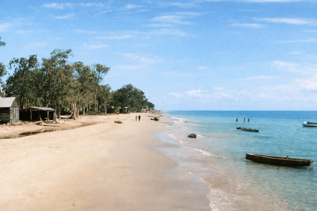
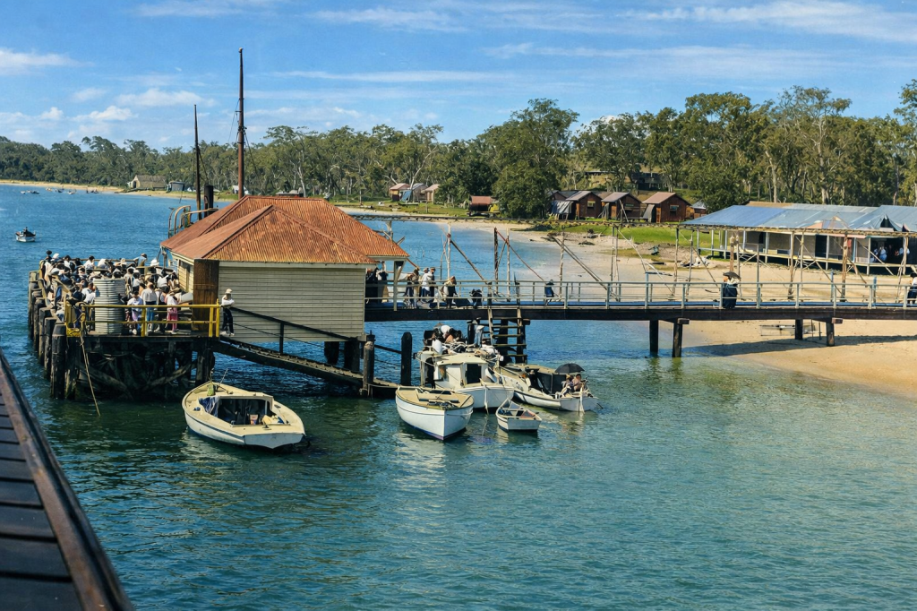
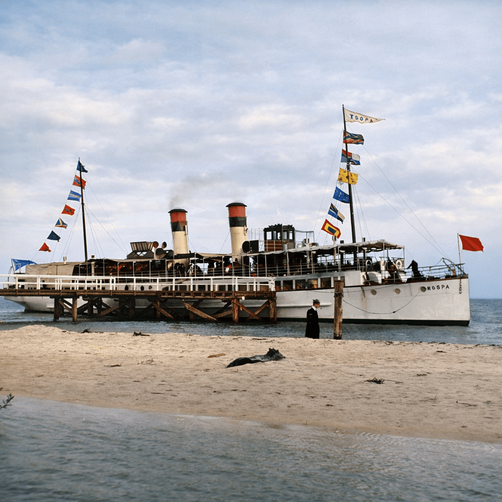
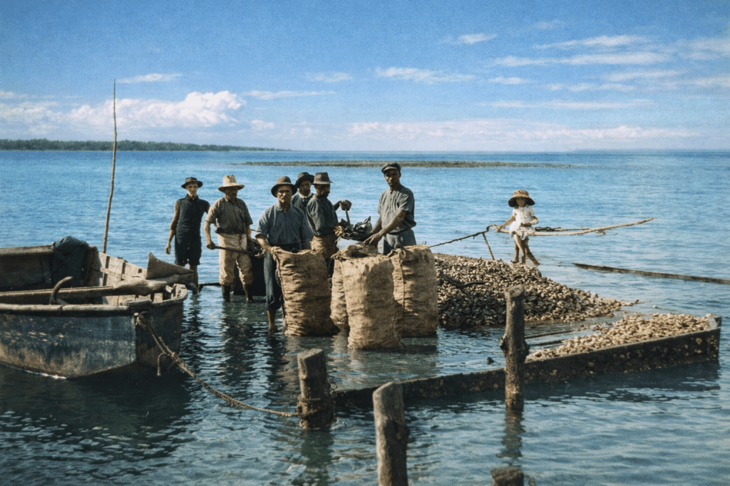
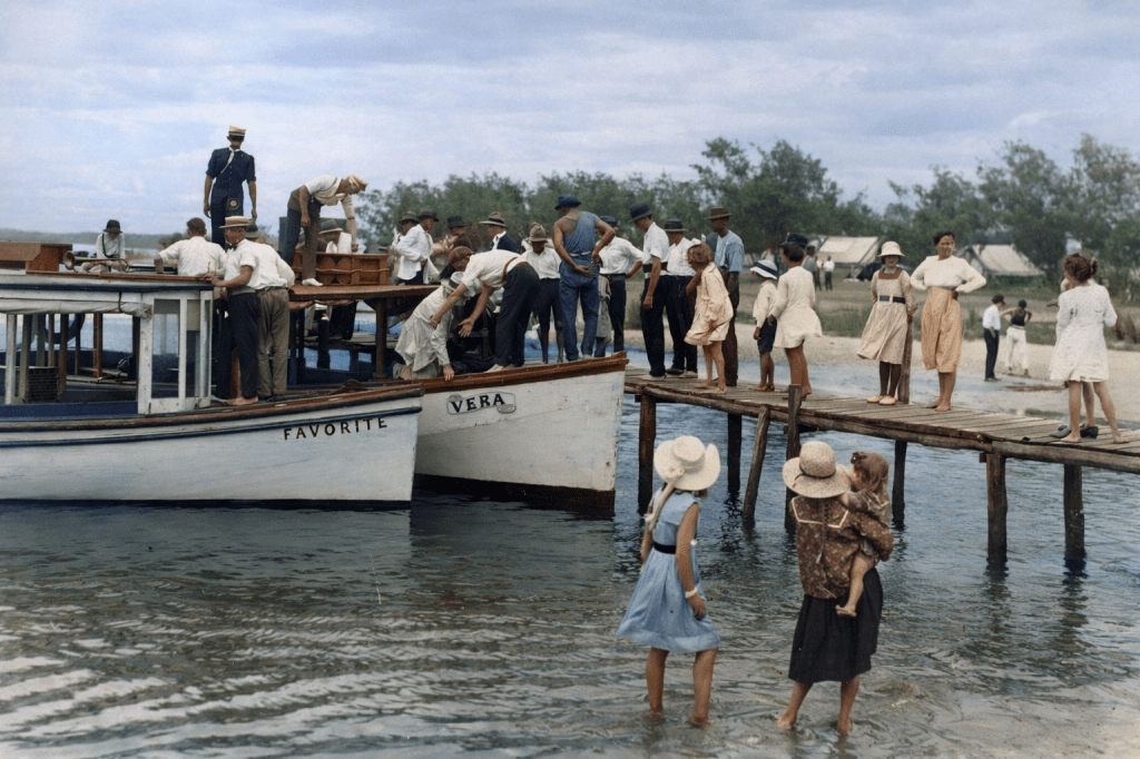
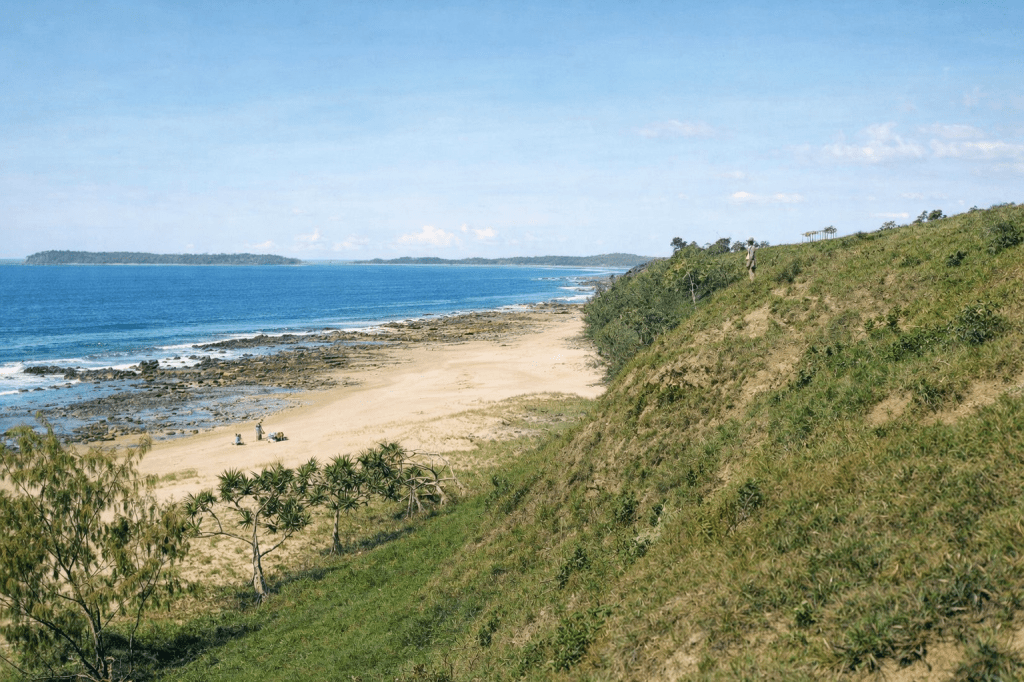
Beach view of Bribie Island, 1917.Bribie Island Jetty.Passenger ferry Koopa at Bribie Island, 1912.Oyster bagging at Bribie Island, 1910.
Caloundra
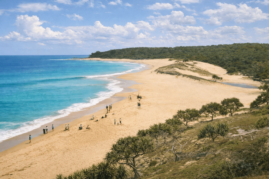
Across the Pumicestone Passage is Caloundra, whose name has clear provenance in the Gubbi Gubbi language – “Cullowandoor” or place of beech trees. By 1851, the Moreton Bay Courier was reporting the recovery of high-quality pearls from “Calowndra” and “Bribie’s Island.”
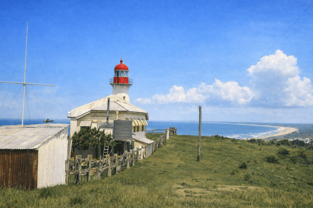
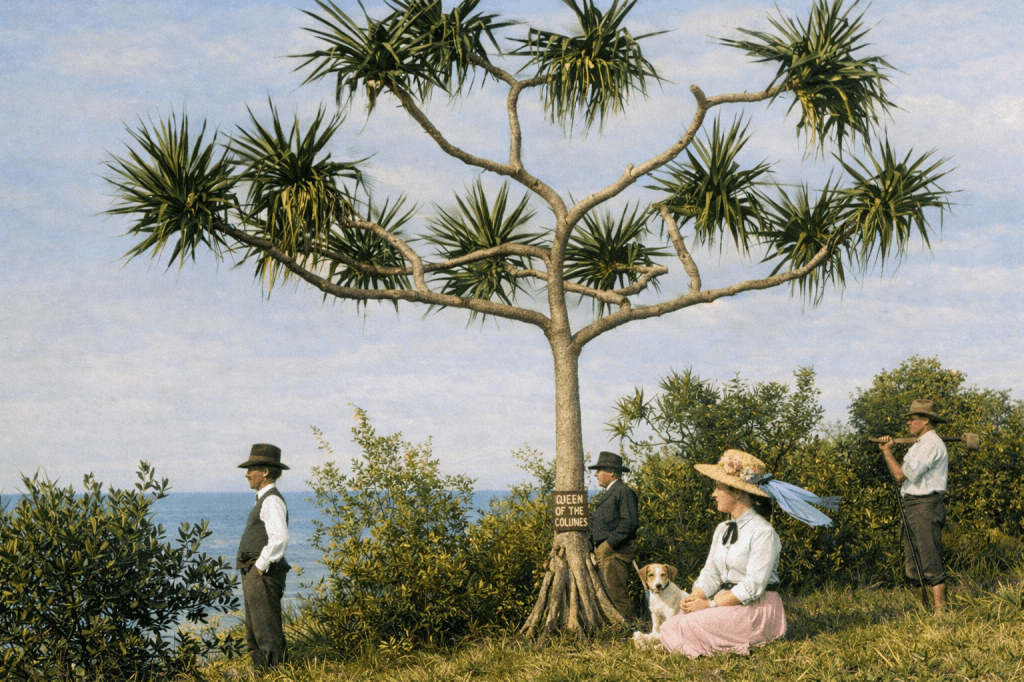
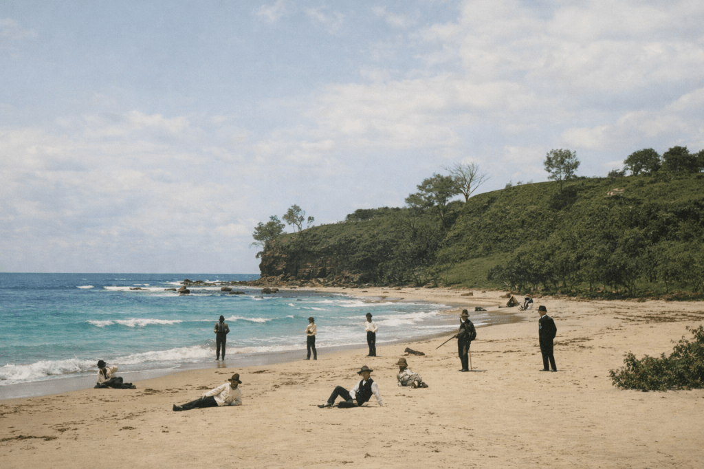
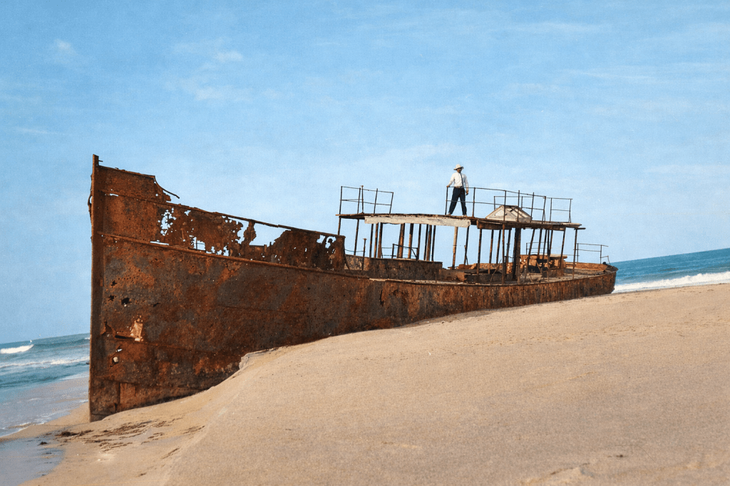
The Caloundra Lighthouse, looking towards Bribie Island, 1910.Group of men enjoying a day at Shelley Beach, 1885.Group of people looking out to sea at the Queen of the Colonies pandanus tree, Caloundra, 1905. The Queen of the Colonies was an immigrant ship that was anchored off Cope Moreton in 1863. A young woman died on board, and 14 men from the ship took her coffin in a lifeboat for burial on Moreton Island. A storm blew the lifeboat away. The survivors of the capsized boat were rescued nearly three weeks later, some of them camped under a pandanus tree where they had carved the ship’s name. (AI had a bit of trouble translating the original black and white, particularly around the carving and the woman’s hat. Things got quite passive-aggressive in the instructions input field, but we’re all good now.)Group of men enjoying the day at Moffatt Headland, 1885. An awful lot of lounging around on beaches whilst fully clothed took place in those days.Man standing on the wreck of the steam ship Dicky, on what would become Dicky Beach. This image was taken in the early 1900s, a decade after the ship washed ashore. It remained in place, rusted and disintegrating for decades. Safety concerns led to the removal of most of the wreckage a century after this picture was taken.
Maroochydore
Maroochydore’s name is derived from the Yuggera word Muru-kutchi, meaning red-bill, in reference to the black swans common to the area. Andrew Petrie gave the area the name during an exploring trip.
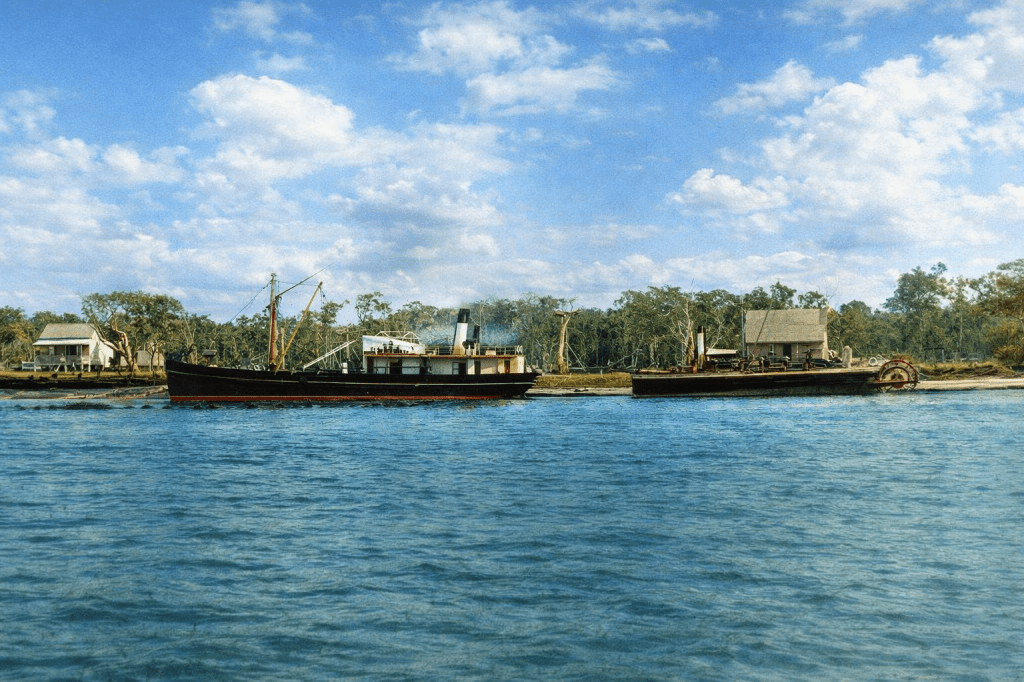
Ships anchored at Pettigrew’s wharf at Maroochydore in 1882. The indefatigable Mr Pettigrew built wharves all over the colony, including a landmark wharf and mill in Brisbane.An admirable haul of fish on the beach at Maroochydore in 1907.Motorboats at Maroochydore, 1918.Alexandra Headland in the late 19th century. It’s now a suburb of Maroochydore.
The Noosa area
Noosa’s name derives from the Gubbi Gubbi word “Gnuthuru” or “Noothera” meaning a shady place. Insert own joke here.
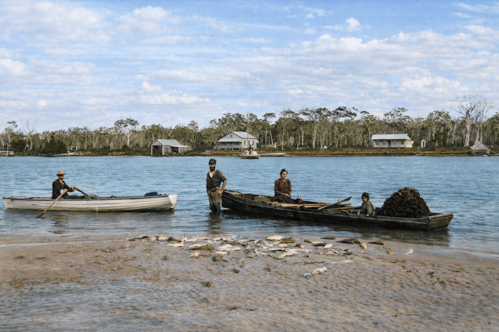
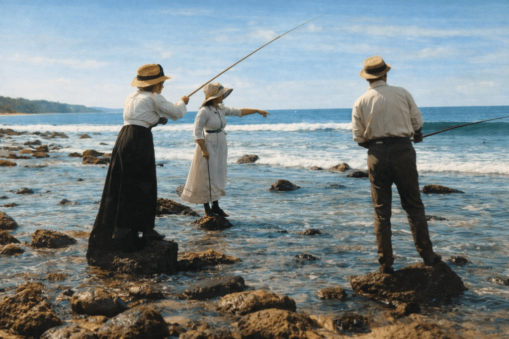
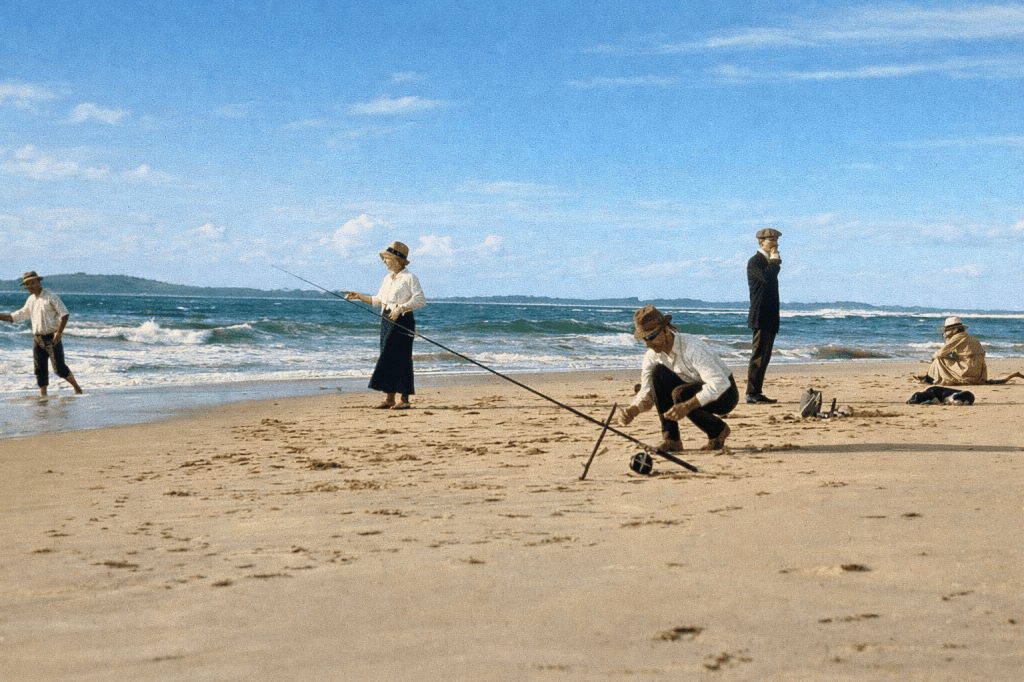
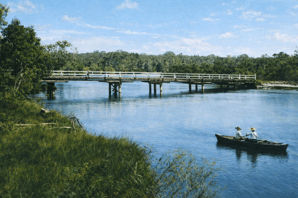
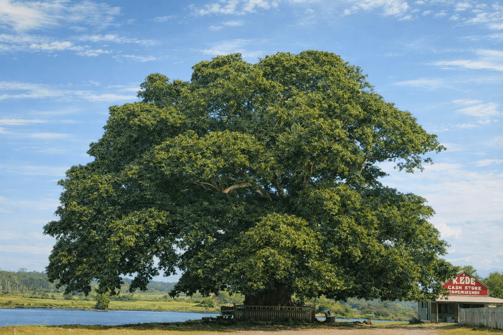
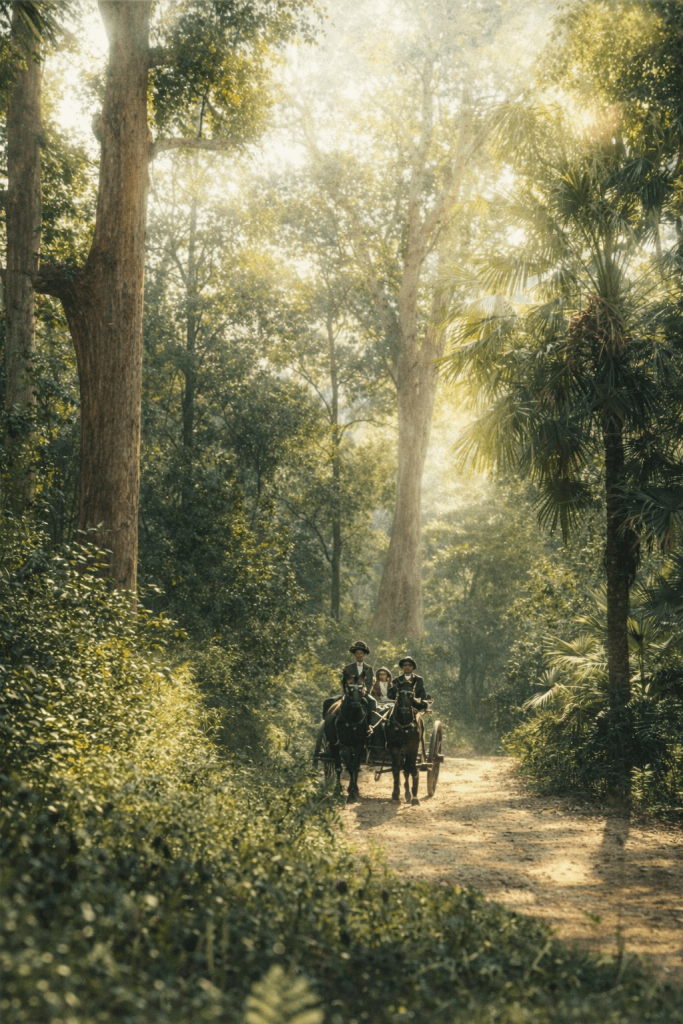
Fishing in Lagoona (or Laguna) Bay, Noosa Heads in 1911. No matter what the conditions were, long skirts and sleeves could not be deviated from.Laguna House and the Noosa River, seen from the hills at Noosa Heads, 1917.People relaxing and fishing on the beach at Noosa Heads, 1917. Few sartorial updates had been made in the six years that passed between the two fishing photos.The Webya Creek Bridge, Noosaville, 1889.Large Moreton Bay fig tree on the Noosa River at Tewantin, 1917.The coach road to Tewantin, 1911. Dreamy. A word that one would never use to describe the Bruce Highway and its connections today.
All images are taken from the digital collection of the State Library of Queensland, and are out of copyright. AI colourisation by Copilot.
Information on indigenous place names and the areas covered has been taken from Wikipedia.